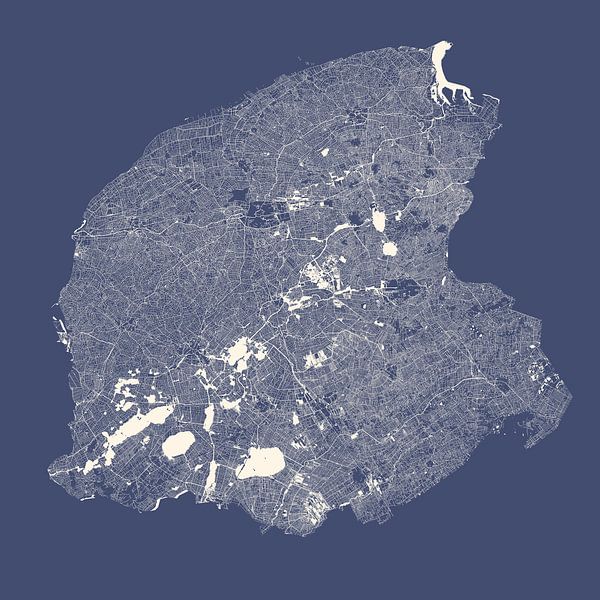
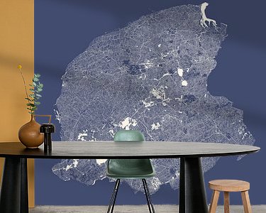
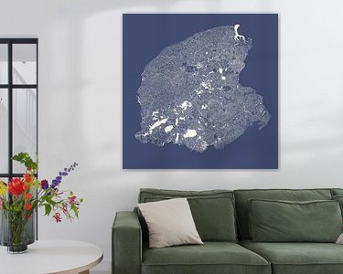


Buy this illustration Water chart of Friesland in royal blue by Maps Are Art on canvas, ArtFrame, poster and wallpaper, printed on demand in high quality.
About "Water chart of Friesland in royal blue"
by Maps Are Art
About the artwork
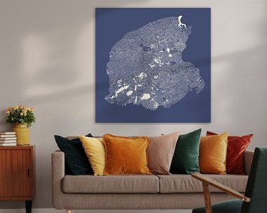
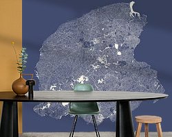
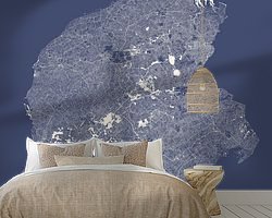
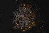
All the lakes, rivers, canals, streams, ditches and other watercourses of the province of Friesland are depicted on this high-detail yet minimalist map. This is why it is not a land map but a water map. One of the nice things about this type of map is that by only showing the water, other objects on land automatically come to the fore, such as forests, towns and polders. As a water country, the Netherlands is perfect for this. This artwork has the style royal blue. The background is a dark form of royal blue with a touch of grey. The watercourses are a contrasting cosmic white. It comes into its own in expressive colourful interiors or as a contrast in a minimalist interior.
This artwork is also available in the following colour palettes: Terracotta Olive green and straw yellow Black and white The data used comes from the Dutch Basisregistratie Grootschalige Topgrafie.
About Maps Are Art
Mapmaker, geography enthusiast, GIS expert and all-round creative... Read more…
 Bedroom
 Friesland
 Illustrations
 Leeuwarden
 Minimalism
 Serene Peace
 World and country maps
 Germany
 Ordered in December 2022
Germany
Ordered in March 2022
Ordered in December 2022
Germany
Ordered in March 2022
 Netherlands
 Ordered in June 2023
Germany
Ordered in March 2024
Germany
Ordered in December 2024
Netherlands
Ordered in June 2023
Germany
Ordered in March 2024
Germany
Ordered in December 2024
Netherlands Ordered in January 2022
Netherlands
Ordered in November 2021
Netherlands
Ordered in September 2021
Germany
Ordered in May 2019
Germany
Ordered in November 2021
Netherlands
Ordered in March 2019
Netherlands
Ordered in October 2021
Ordered in January 2022
Netherlands
Ordered in November 2021
Netherlands
Ordered in September 2021
Germany
Ordered in May 2019
Germany
Ordered in November 2021
Netherlands
Ordered in March 2019
Netherlands
Ordered in October 2021
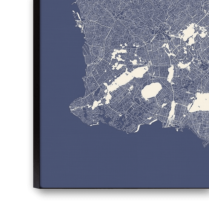
About the material
ArtFrame™
Interchangeable Art Prints
- High-quality print
- Easily interchangeable
- Acoustic function
- Large sizes available


Discover the artworks of Maps Are Art
 Map of Apeldoorn abstractMaps Are Art
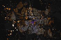 Map of Breda abstractMaps Are Art
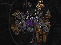 Map of Maastricht abstractMaps Are Art
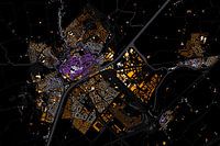 Kaart van MiddelburgMaps Are Art
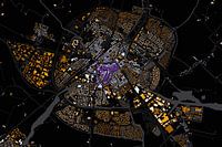 Map of Sneek abstractMaps Are Art
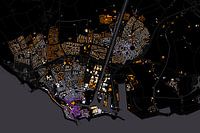 Map of Flushing abstractMaps Are Art
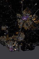 Abstract map Middelburg and VlissingenMaps Are Art
 Nijmegen Art Nouveau MapMaps Are Art
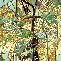 Maastricht Art Nouveau MapMaps Are Art
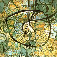 Eindhoven Art Nouveau MapMaps Are Art
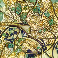 Arnhem Art Nouveau MapMaps Are Art
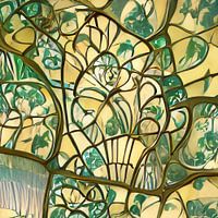 Urecht Jugendstil MapMaps Are Art
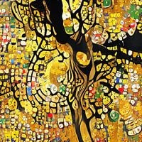 Map of Amsterdam in the style of Gustav KlimtMaps Are Art
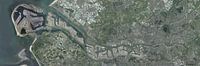 Panoramic aerial photo of Rotterdam EuropoortMaps Are Art
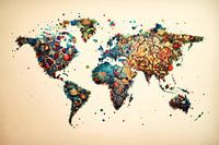 Vibrant world mapMaps Are Art
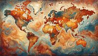 Van Gogh-style world mapMaps Are Art
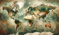 Impressionistic world map mer Wabi Sabi coloursMaps Are Art
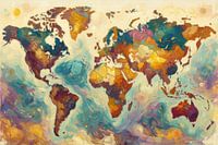 Colourful impressionist world mapMaps Are Art
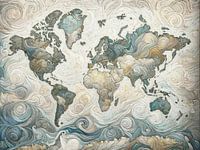 Impressionistic world map in light coloursMaps Are Art
 Impressionistic world map with intense colours.Maps Are Art


