Art code
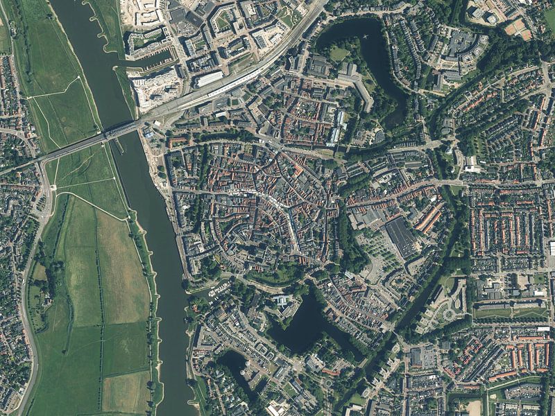


Buy the photo Aerial view of the centre of Zutphen by Maps Are Art on canvas, ArtFrame, poster and wallpaper, printed on demand in high quality.
About "Aerial view of the centre of Zutphen"
by Maps Are Art
About the artwork
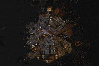
This aerial photo of Zutphen's city centre was obtained by unleashing various GIS techniques on open data. The aerial photo has been processed with various filters so that some more details stand out. You may still be able to see artefacts in the form of bands due to time differences during the fly-in.
About Maps Are Art
Mapmaker, geography enthusiast, GIS expert and all-round creative... Read more…
Collections
 Aerial photography
 Photo wallpaper
 Photography
 Serene Peace
 Towns
Towns World and country maps
Colors
Gerda
 Netherlands
4.5
/
5
 Ordered in April 2021
Vera J.
 Germany
5
/
5
 Ordered in September 2019
Sjon
Netherlands
5
/
5
Ordered in December 2021
T
Netherlands
5
/
5
Ordered in November 2021
Michael W.
Germany
5
/
5
Ordered in February 2021
Marie Luise M.
Germany
5
/
5
Ordered in May 2020
Arjen Freriks
Netherlands
4
/
5
 Ordered in January 2024
Bob
Netherlands
5
/
5
Ordered in July 2021
G S.
Germany
5
/
5
Ordered in November 2023
talih yurttakalin
Netherlands
5
/
5
Ordered in September 2017
Liliane Van Kan
Netherlands
5
/
5
Ordered in March 2024
G
Netherlands
4
/
5
Ordered in November 2022
About the material
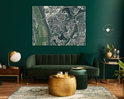
ArtFrame™
Interchangeable Art Prints
- High-quality print
- Easily interchangeable
- Acoustic function
- Large sizes available


Discover the artworks of Maps Are Art
 Map of Apeldoorn abstractMaps Are Art
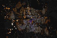 Map of Breda abstractMaps Are Art
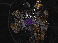 Map of Maastricht abstractMaps Are Art
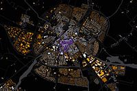 Map of Sneek abstractMaps Are Art
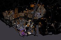 Map of Flushing abstractMaps Are Art
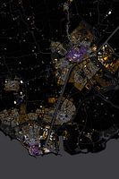 Abstract map Middelburg and VlissingenMaps Are Art
 Nijmegen Art Nouveau MapMaps Are Art
 Maastricht Art Nouveau MapMaps Are Art
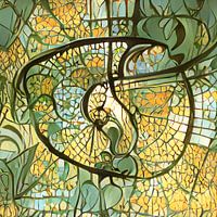 Eindhoven Art Nouveau MapMaps Are Art
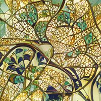 Arnhem Art Nouveau MapMaps Are Art
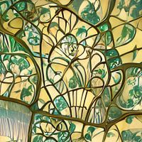 Urecht Jugendstil MapMaps Are Art
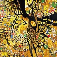 Map of Amsterdam in the style of Gustav KlimtMaps Are Art
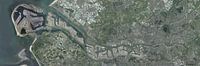 Panoramic aerial photo of Rotterdam EuropoortMaps Are Art
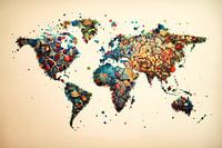 Vibrant world mapMaps Are Art
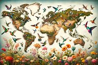 Bird World MapMaps Are Art
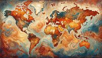 Van Gogh-style world mapMaps Are Art
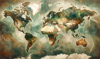 Impressionistic world map mer Wabi Sabi coloursMaps Are Art
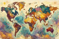 Colourful impressionist world mapMaps Are Art
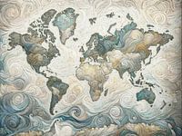 Impressionistic world map in light coloursMaps Are Art
 Impressionistic world map with intense colours.Maps Are Art


