


Buy A.D. 1. The Roman Empire In The Augustan Age as a reproduction on canvas, ArtFrame, poster and wallpaper, printed on demand in high quality.
About "A.D. 1. The Roman Empire In The Augustan Age"
About the artwork
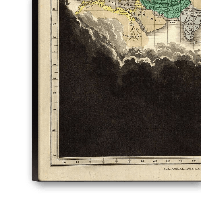
An historical atlas, in a series of maps of the world as known at different periods, constructed upon an uniform scale, and coloured according to the political changes of each period.
A.D. 1. The Roman Empire In The Augustan Age, Edward Quin
Clouds receding to show the known earth from the end of the third Punic War, 146 B.C., to the birth of Christ. (A.M. 3853 to A.M. 4004). Eighth period. In full color stretching from Ireland and Morocco to China. The Roman Empire shown in yellow, the Parthian Empire in green, Hindoostan in gray and China in light brown.
Old Master collections
Discover more Old Masters in the following collections:
 Mysterious Spheres
 World and country maps
 Germany
 Ordered in April 2021
 Netherlands
 Ordered in June 2019
Netherlands
Ordered in June 2019
Germany
Ordered in August 2019
Netherlands
Ordered in August 2019
Germany
Ordered in October 2021
Germany
Ordered in October 2022
Netherlands
Ordered in April 2020
Germany
Ordered in November 2024
Netherlands
Ordered in April 2017
Netherlands
Ordered in April 2021
Netherlands
Ordered in March 2022
Ordered in June 2019
Netherlands
Ordered in June 2019
Germany
Ordered in August 2019
Netherlands
Ordered in August 2019
Germany
Ordered in October 2021
Germany
Ordered in October 2022
Netherlands
Ordered in April 2020
Germany
Ordered in November 2024
Netherlands
Ordered in April 2017
Netherlands
Ordered in April 2021
Netherlands
Ordered in March 2022
About the material
ArtFrame™
Interchangeable Art Prints
- High-quality print
- Easily interchangeable
- Acoustic function
- Large sizes available


Discover the Old Masters collection
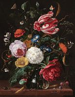 Flower arrangement, Jan Davidsz. de Heem
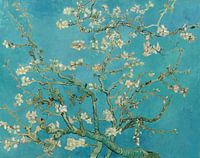 Almond blossom painting by Vincent van Gogh
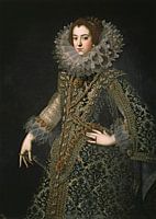 Queen Elizabeth of Bourbon
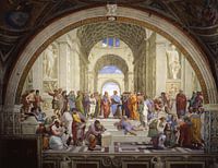 The School of Athens, Raphael
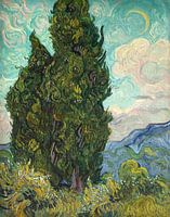 Cypresses
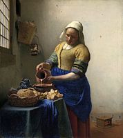 The Milkmaid - Vermeer painting
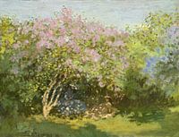 Lilac in the sun, Claude Monet
 A Amsterdam street scene - Adrianus Eversen
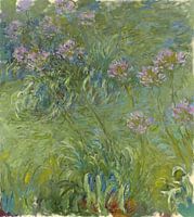 Agapanthus, Claude Monet
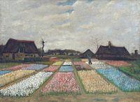 Vincent van Gogh. Flower beds in Holland
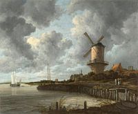 The mill at Wijk bij Duurstede, Jacob Isaacksz. van Ruisdael
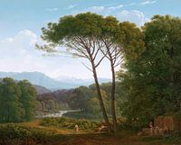 Italian landscape with pine trees, Hendrik Voogd
 Portrait of a woman, anonymous - 1633
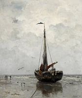 Jacob Maris - Fishing boat
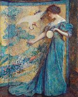 The Mirror, Robert Reid
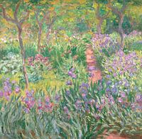 The Artist’s Garden in Giverny, Claude Monet
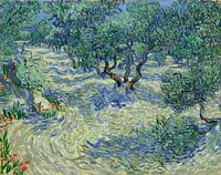 Vincent van Gogh. Olive orchard
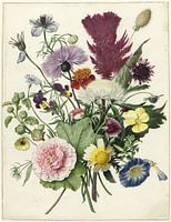 Bouquet of flowers on white background (seen at VT Wonen)
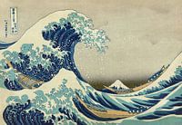 The great wave of Kanagawa, Hokusai
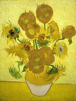 Vincent van Gogh. Sunflowers


