
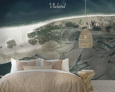
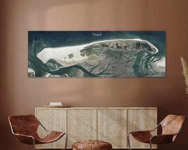


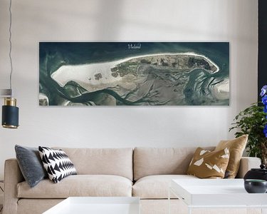

Buy Panoramic aerial photo of Vlieland by Maps Are Art on canvas, ArtFrame, poster and wallpaper, printed on demand in high quality.
About "Panoramic aerial photo of Vlieland"
by Maps Are Art
About the artwork
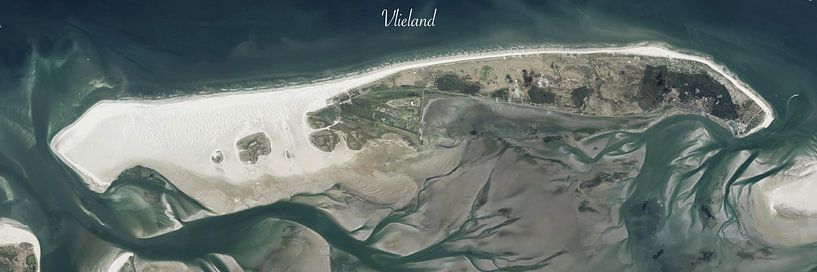
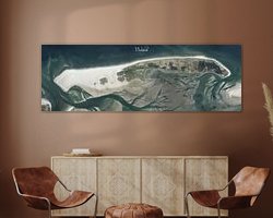
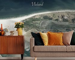
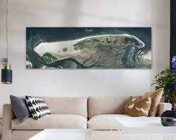
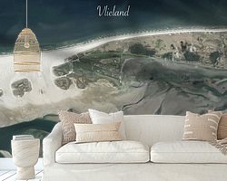
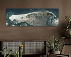
Aerial photo of Vlieland This is a panoramic image, excellent for wide walls. The source of this imagery is from the 2017 Land Registry aerial photo dataset. It is a collage of Aerial photos that have been stitiched and post-processed in photoshop. As a result, it has a very high resolution and individual buildings are well visible.
Vlieland is an island and municipality in the province of Friesland in the Netherlands. The island is about 17 km long and 3 km wide. Vlieland has beautiful nature, with beaches, dunes, forests and many birds. There are few inhabitants and cars on the island, making it a quiet and unspoilt place. The only village, Oost-Vlieland has just over 1,000 inhabitants. The western part of the island is a military training area and is not open to the public. There are several hiking and cycling trails, as well as various recreational activities such as surfing, sailing and horse riding.
About Maps Are Art
Mapmaker, geography enthusiast, GIS expert and all-round creative... Read more…
 Beach
Beach Boats & Ships
 Drawings
 North Sea
 Serene Peace
 Vlieland
 Wadden Islands and Wadden Sea
 Netherlands
 Ordered in May 2021
 Germany
 Ordered in October 2022
Germany
Ordered in April 2025
Germany
Ordered in September 2019
Netherlands
Ordered in March 2019
Ordered in October 2022
Germany
Ordered in April 2025
Germany
Ordered in September 2019
Netherlands
Ordered in March 2019
 Germany
Ordered in February 2021
Netherlands
Ordered in September 2021
Germany
Ordered in March 2024
Netherlands
Ordered in January 2022
Germany
Ordered in February 2023
Germany
Ordered in May 2019
Netherlands
Ordered in July 2024
Germany
Ordered in February 2021
Netherlands
Ordered in September 2021
Germany
Ordered in March 2024
Netherlands
Ordered in January 2022
Germany
Ordered in February 2023
Germany
Ordered in May 2019
Netherlands
Ordered in July 2024
About the material
ArtFrame™
Interchangeable Art Prints
- High-quality print
- Easily interchangeable
- Acoustic function
- Large sizes available


Discover the artworks of Maps Are Art
 Map of Apeldoorn abstractMaps Are Art
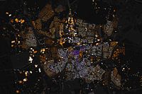 Map of Breda abstractMaps Are Art
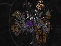 Map of Maastricht abstractMaps Are Art
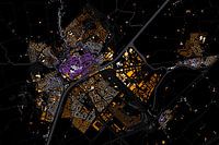 Kaart van MiddelburgMaps Are Art
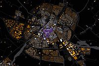 Map of Sneek abstractMaps Are Art
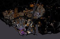 Map of Flushing abstractMaps Are Art
 Abstract map Middelburg and VlissingenMaps Are Art
 Nijmegen Art Nouveau MapMaps Are Art
 Maastricht Art Nouveau MapMaps Are Art
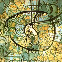 Eindhoven Art Nouveau MapMaps Are Art
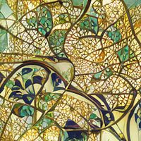 Arnhem Art Nouveau MapMaps Are Art
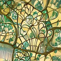 Urecht Jugendstil MapMaps Are Art
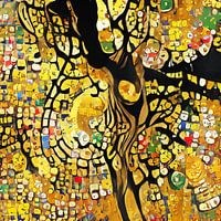 Map of Amsterdam in the style of Gustav KlimtMaps Are Art
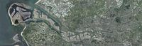 Panoramic aerial photo of Rotterdam EuropoortMaps Are Art
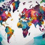
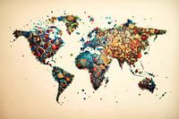 Vibrant world mapMaps Are Art
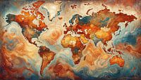 Van Gogh-style world mapMaps Are Art
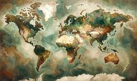 Impressionistic world map mer Wabi Sabi coloursMaps Are Art
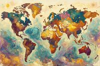 Colourful impressionist world mapMaps Are Art
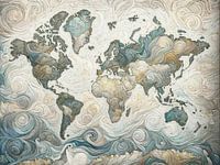 Impressionistic world map in light coloursMaps Are Art
 Impressionistic world map with intense colours.Maps Are Art


