
Buy New Geographic and Hydrographic Map of the Whole World, 1630 as a reproduction on canvas, ArtFrame, poster and wallpaper, printed on demand in high quality.
About "New Geographic and Hydrographic Map of the Whole World, 1630"
About the artwork
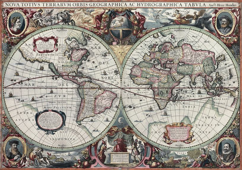
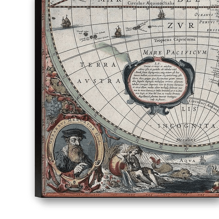
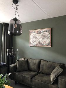
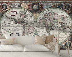
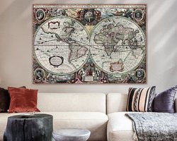
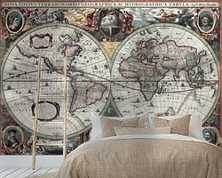
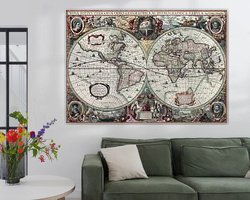
This is an image of Nova totius Terrarum Orbis geographica ac hydrographica tabula, a map of the world created by Hendrik Hondius in 1630, and published the following year in the atlas Atlantis Maioris Appendix.
Among its claims to notability is the fact that it was the first dated map published in an atlas, and therefore the first widely available map, to show any part of Australia, the only previous map to do so being Hessel Gerritsz' 1627 Caert van't Landt van d'Eendracht ("Chart of the Land of Eendracht"), which was not widely distributed. The Australian coastline shown is part of the west coast of Cape York Peninsula, discovered by Jan Carstensz in 1623. Curiously, the map does not show the west coast features shown in Gerritsz' Caert. The original map was executed in 1630, and published in 1631.
Old Master collections
Discover more Old Masters in the following collections:
 Old masters
 World and country maps
 Netherlands
 Ordered in May 2021
 Germany
 Ordered in May 2020
Netherlands
Ordered in November 2021
Germany
Ordered in May 2019
Netherlands
Ordered in May 2020
Netherlands
Ordered in November 2021
Germany
Ordered in May 2019
Netherlands Ordered in November 2024
Germany
Ordered in May 2023
Germany
Ordered in January 2022
Netherlands
Ordered in June 2019
Germany
Ordered in January 2021
Netherlands
Ordered in March 2023
Netherlands
Ordered in November 2020
Germany
Ordered in April 2022
Ordered in November 2024
Germany
Ordered in May 2023
Germany
Ordered in January 2022
Netherlands
Ordered in June 2019
Germany
Ordered in January 2021
Netherlands
Ordered in March 2023
Netherlands
Ordered in November 2020
Germany
Ordered in April 2022
About the material
ArtFrame™
Interchangeable Art Prints
- High-quality print
- Easily interchangeable
- Acoustic function
- Large sizes available


Discover the Old Masters collection
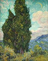 Cypresses
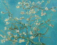 Almond blossom painting by Vincent van Gogh
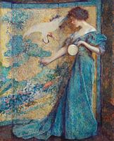 The Mirror, Robert Reid
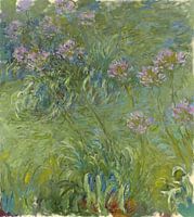 Agapanthus, Claude Monet
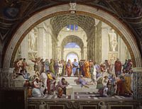 The School of Athens, Raphael
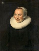 Portrait of a woman, anonymous - 1633
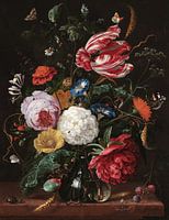 Flower arrangement, Jan Davidsz. de Heem
 The Night Watch, with missing parts, Rembrandt
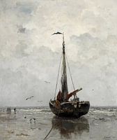 Jacob Maris - Fishing boat
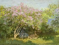 Lilac in the sun, Claude Monet
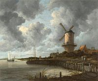 The mill at Wijk bij Duurstede, Jacob Isaacksz. van Ruisdael
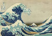 The great wave of Kanagawa, Hokusai
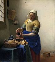 The Milkmaid - Vermeer painting
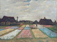 Vincent van Gogh. Flower beds in Holland
 A Amsterdam street scene - Adrianus Eversen
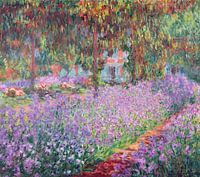 The Artist's Garden at Giverny, Claude Monet
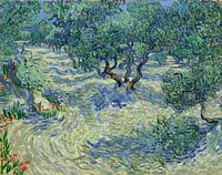 Vincent van Gogh. Olive orchard
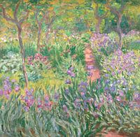 The Artist’s Garden in Giverny, Claude Monet
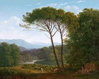 Italian landscape with pine trees, Hendrik Voogd
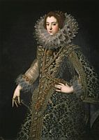 Queen Elizabeth of Bourbon


