


Buy this digital art artwork Zoetermeer City Map | Black Watercolour | Square or as a Wall Circle by WorldMapShop as a reproduction on canvas, ArtFrame, poster and wallpaper, printed on demand in high quality.
About "Zoetermeer City Map | Black Watercolour | Square or as a Wall Circle"
by WorldMapShop
About the artwork
For a close-up of this artwork click on the picture.
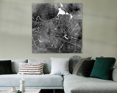
This artwork is also very suitable as Round Print (Wall Circle).
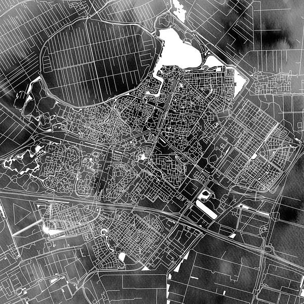
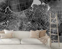
This accurate city map of Zoetermeer has a modern black and white background painted with black watercolor. Because the watercolor is applied in an abstract way, you can see both dark and light parts in this work in a beautiful watercolor effect. The lighter spots are reminiscent of light clouds so that it looks as if you are looking at Zoetermeer from an airplane on a slightly cloudy day.
This city map shows the following Zoetermeer neighbourhoods:
Zoetermeer Centre, Zoetermeer Village, Oosterheem, Meerzicht, Noordhove, Palenstein, Seghwaert, Driemanspolder, Buytenwegh, De Leyens, Rokkeveen, Lansinghage, Zoetermeer Lake ( North Aa ), Noordhoven Lake, Benthuizerplas, Bentwoud and the adjacent village of Benthuizen.
This city map is a creation of Ricardo Bouman.
This concept and work of art are copyrighted.
About WorldMapShop
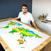
WorldMapsShop is a design studio where artistic cartographic illustrations and paintings are created by graphic designer, photographer and painter Ricardo Bouman.
In his studio and workshop, he works with both analogue mediums 'paints and inks' and modern digital mediums 'vector line drawings, typography and proprietary photographic images'.
His unique..
Read more…
 City maps
 Digital art
 Line drawings
 North Holland
 Serene Peace
 World and country maps
 Germany
 Ordered in August 2022
Germany
Ordered in February 2022
Germany
Ordered in July 2021
Germany
Ordered in May 2019
Germany
Ordered in August 2019
Germany
Ordered in June 2023
Germany
Ordered in May 2021
Germany
Ordered in December 2019
Ordered in August 2022
Germany
Ordered in February 2022
Germany
Ordered in July 2021
Germany
Ordered in May 2019
Germany
Ordered in August 2019
Germany
Ordered in June 2023
Germany
Ordered in May 2021
Germany
Ordered in December 2019
 Netherlands
 Ordered in April 2017
Netherlands
Ordered in December 2023
Germany
Ordered in June 2023
Germany
Ordered in August 2019
Ordered in April 2017
Netherlands
Ordered in December 2023
Germany
Ordered in June 2023
Germany
Ordered in August 2019
About the material
ArtFrame™
Interchangeable Art Prints
- High-quality print
- Easily interchangeable
- Acoustic function
- Large sizes available


Discover the artworks of WorldMapShop
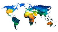 Worldmap in colorful watercolorWorldMapShop
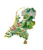 The Netherlands | Watercolour Map | Also beautiful as a wall circleWorldMapShop
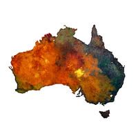 Australia | Map in watercolour | PaintingWorldMapShop
 Typographic World Map | DutchWorldMapShop
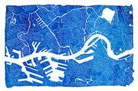 Rotterdam city map | Blue watercolour with a white frameWorldMapShop
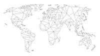 Geometric World Map | Linear drawing | Black on WhiteWorldMapShop
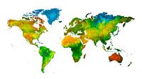 World map in watercolour | Handmade paintingWorldMapShop
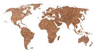 World map of Coffee beans | CollageWorldMapShop
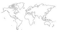 World map | Line drawingWorldMapShop
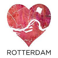 Love for Rotterdam | City map in a heartWorldMapShop
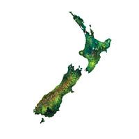 New Zealand Watercolor PaintingWorldMapShop
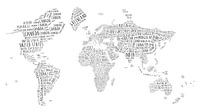 Typographic World Map | EnglishWorldMapShop
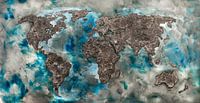 World map of ConcreteWorldMapShop
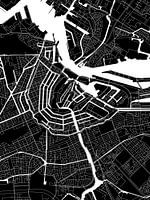 Amsterdam | Modern City Map in black and whiteWorldMapShop
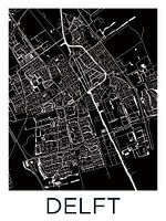 Delft | City Map BlackWhiteWorldMapShop
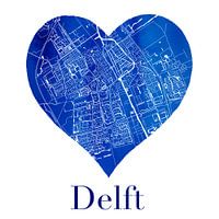 Delft | City map in a Delft Blue heart of watercolourWorldMapShop
 World map of Espresso | Quote | Wall circleWorldMapShop
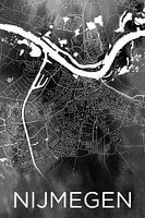 Nijmegen | City map on black watercolourWorldMapShop
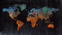 World map of rust | metal and watercolorWorldMapShop
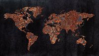 World map | Rust with three structuresWorldMapShop


