Buy this landscape artwork World map coloured paper by Frans Blok - photos, art and other wall decoration on canvas, ArtFrame, poster and wallpaper, printed on demand in high quality.
About "World map coloured paper"
by Frans Blok - photos, art and other wall decoration
About the artwork
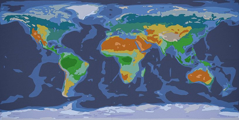
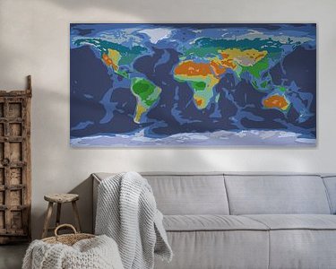
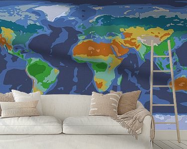
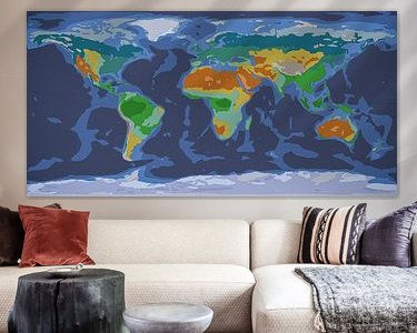
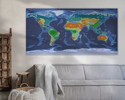
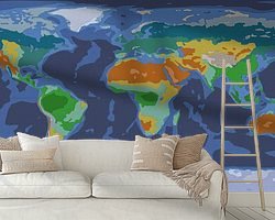
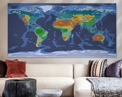
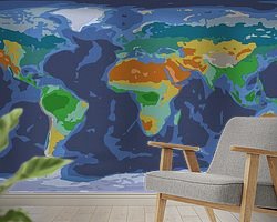
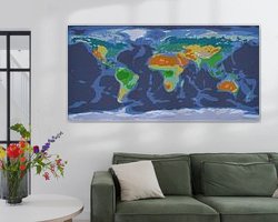
This colourful world map is a paper cutting, made of layers of paper, carefully cut out and pasted on top of each other. Or, well, not really actually. The map was made entirely on the computer; not a single sheet of paper was involved. Not that it was any less work to make it, by the way.
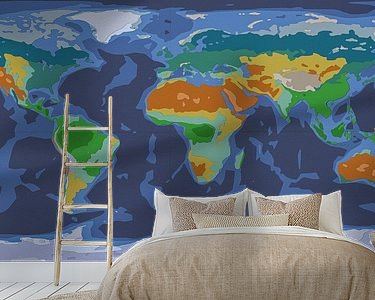
The colours roughly represent the climate and landscape zones on our planet. We see, in green and dark green, the tropical jungles around the equator. In lighter green the savannahs, in yellow the steppes and in orange-brown the deserts. In the temperate latitudes, we see a relatively light green for deciduous forests and a slightly darker green for the boreal coniferous forests. Above that, another greenish grey for the tundra. Furthermore, the high mountains and ice caps also have their own papers.
The oceans make up 71 per cent of the earth's surface; I could have made them all the same colour but for variety I used three different colours of paper, corresponding to depth.
Some areas are so large that several (virtual) sheets were needed. Seams are then visible there, which I made coincide with the equator, and the prime meridian.
The danger with this kind of Photoshop work is that the final result becomes a bit sterile. Therefore, I have subtly added some irregularities and shadows that enhance the illusion of a handmade map.

About Frans Blok - photos, art and other wall decoration
My work can be found in the border regions of photography, painting and computer visuals. With my company 3Develop I do work in commission but I use the same techniques, skills and software to make free work.
World maps and reliefs made from unique materials, vintage postcards,..
Read more…
 Germany
 Ordered in March 2024
 Germany
 Ordered in January 2021
 Netherlands
 Ordered in November 2018
 Germany
 Ordered in November 2019
 Netherlands
 Ordered in December 2023
 Netherlands
 Ordered in October 2020
 Netherlands
 Ordered in April 2020
 Netherlands
 Ordered in May 2021
 Germany
 Ordered in April 2025
 Germany
 Ordered in May 2019
 Netherlands
 Ordered in November 2017
 Germany
 Ordered in November 2024
About the material
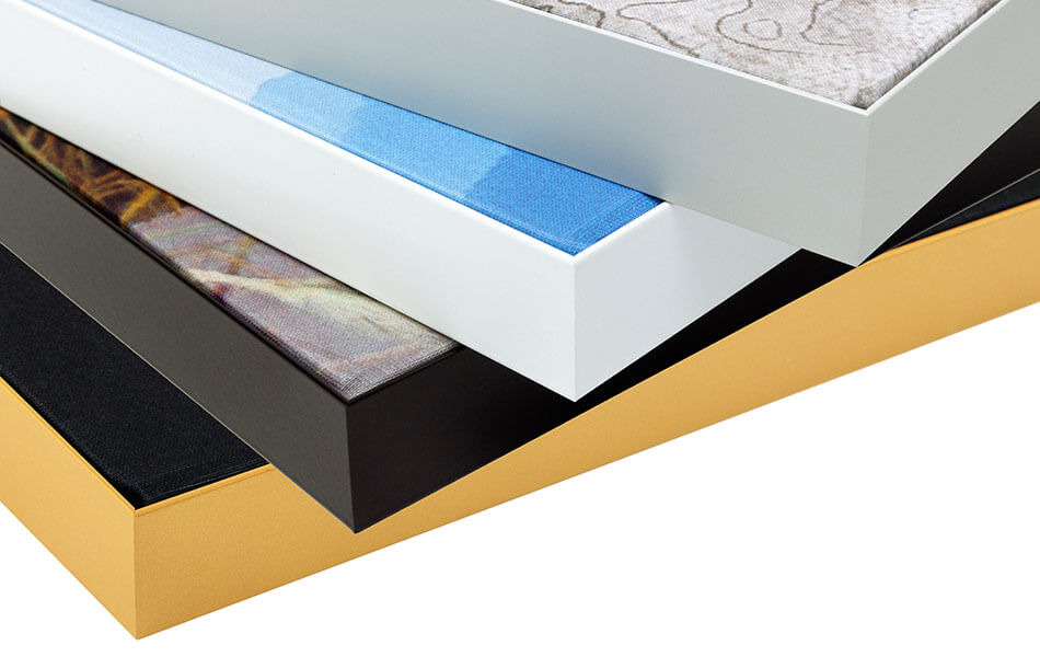
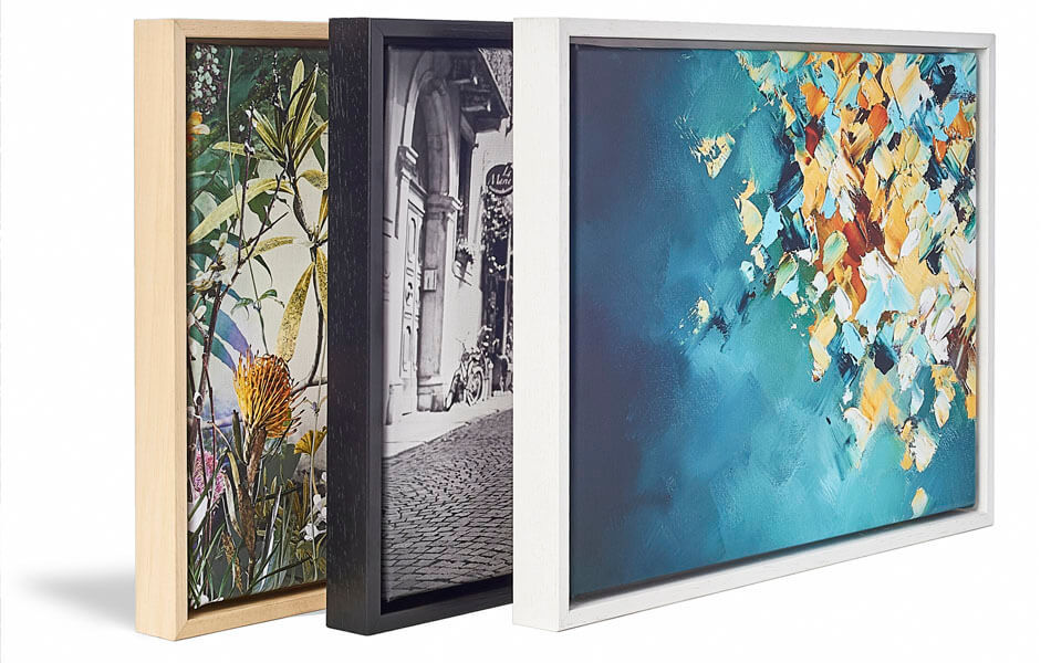
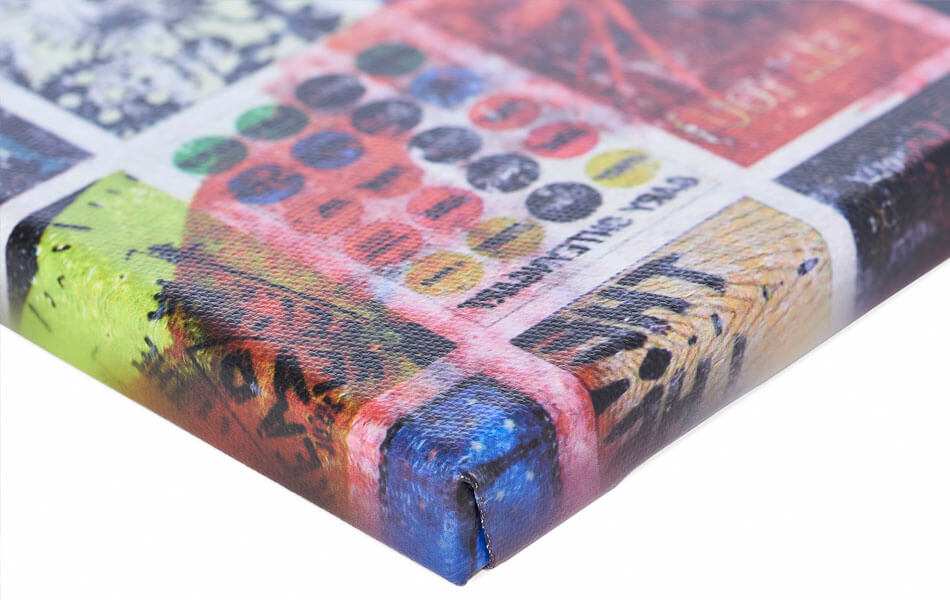
ArtFrame™
Interchangeable Art Prints
- High-quality print
- Easily interchangeable
- Acoustic function
- Large sizes available
Discover the artworks of Frans Blok - photos, art and other wall decoration
 One thousand wind turbine at seas - storm is comingFrans Blok - photos, art and other wall decoration
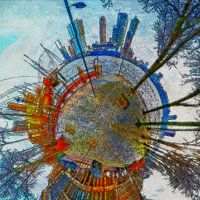 Planet Veerhaven RotterdamFrans Blok - photos, art and other wall decoration
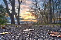 November in Kralingen Forest, RotterdamFrans Blok - photos, art and other wall decoration
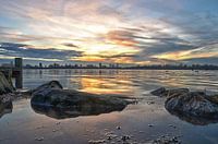 Sunset Lake Kralingen, RotterdamFrans Blok - photos, art and other wall decoration
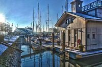 Veerhaven Rotterdam in WinterFrans Blok - photos, art and other wall decoration
 Rotterdam: Autumn at Lake KralingenFrans Blok - photos, art and other wall decoration
 The Inverted WorldFrans Blok - photos, art and other wall decoration
 Old Harbour Rotterdam Around SunsetFrans Blok - photos, art and other wall decoration
 Rotterdam Skyline, reflected in the river Nieuwe MaasFrans Blok - photos, art and other wall decoration
 Panorama Lake District, EngelandFrans Blok - photos, art and other wall decoration
 Ship hull with welds and rustFrans Blok - photos, art and other wall decoration
 Earth from SpaceFrans Blok - photos, art and other wall decoration
 Light Map of RotterdamFrans Blok - photos, art and other wall decoration
 Rotterdam skyline in greyscaleFrans Blok - photos, art and other wall decoration
 A rainy night in LeidenFrans Blok - photos, art and other wall decoration
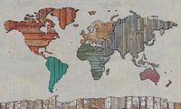 Scrapwood map of the worldFrans Blok - photos, art and other wall decoration
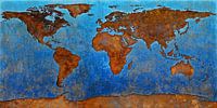 World Map RustFrans Blok - photos, art and other wall decoration
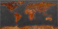 World map rust - black versionFrans Blok - photos, art and other wall decoration
 Cats, guitars and beerFrans Blok - photos, art and other wall decoration
 Japandi world mapFrans Blok - photos, art and other wall decoration


 Digital art
 Landscapes
 Serene Peace
 Vibrant Colors
 World and country maps
