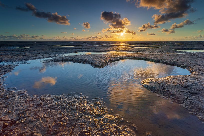


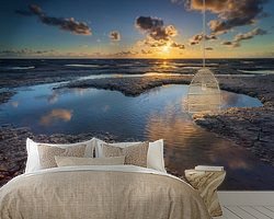
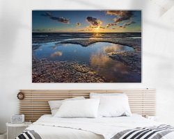
Buy the photo Wadden Sea by Lisa Antoinette Photography on canvas, ArtFrame, poster and wallpaper, printed on demand in high quality.
About "Wadden Sea"
by Lisa Antoinette Photography
About the artwork
The Wadden Sea (Frisian: Waadsee, German: Wattenmeer, Danish: Vadehavet) is the inland sea between the Wadden Islands and the North Sea on one side, and the mainland of the Netherlands, Germany and Denmark on the other. The area extends between Den Helder in the Netherlands and Esbjerg in Denmark, has a length of 500 km and a width of 20 km on average. It covers about 10,000 km², of which about 7,500 km² is tidal area (mudflats and sandbanks), 1,100 km² islands and 350 km² salt marshes and summer polders. The rest consists of channels. A number of rivers flow into the Wadden Sea. The estuaries widened into estuaries such as the Dollard, the Lauwerszee, the Middelzee and the Zuiderzee. The last three have since been closed. The Afsluitdijk, completed in 1932, has been part of the southern boundary of the Wadden Sea since that year. The Wadden Sea is interrupted by the Hindenburgdamm from the island of Sylt and the Rømøvej, the dam to Rømø. The Wadden Sea area has great natural value and is on the UNESCO World Heritage List. The World Heritage Site covers over 12,000 km², which includes the transitional area to the North Sea (some 4,000 km²). It largely excludes the Wadden Islands of the Netherlands and Schleswig-Holstein (almost 700 km²) and the estuaries of the Ems, Außenjade, Weser and Elbe rivers. However, these areas are largely covered by the Natura 2000 regime. Protection measures are coordinated by the International Wa

About Lisa Antoinette Photography
My name is Lisa Kompier, I live in Maarssen (Utrecht) and I am 29 years old.
My passion started about 7 years ago when there were still cameras with rolls that you had to hand in at the store so they could be developed.
I bought my first..
Read more…
 Dike
Dike Friesland
 North Sea
 Photo wallpaper
 Photography
 Serene Peace
 The Netherlands
 UNESCO World Heritage Locations
 Wadden Islands and Wadden Sea
 Germany
 Ordered in March 2025
Germany
Ordered in October 2022
Ordered in March 2025
Germany
Ordered in October 2022
 Netherlands
 Ordered in October 2017
 Germany
Ordered in January 2022
Germany
Ordered in July 2020
Netherlands
Ordered in November 2020
Germany
Ordered in January 2020
Germany
Ordered in August 2021
Netherlands
Ordered in August 2021
Germany
Ordered in June 2022
Netherlands
Ordered in November 2023
Netherlands
Ordered in December 2021
Germany
Ordered in January 2022
Germany
Ordered in July 2020
Netherlands
Ordered in November 2020
Germany
Ordered in January 2020
Germany
Ordered in August 2021
Netherlands
Ordered in August 2021
Germany
Ordered in June 2022
Netherlands
Ordered in November 2023
Netherlands
Ordered in December 2021


About the material
Wallpaper
Make a statement with art on wallpaper
- Razor-sharp prints
- Easy to apply
- Big sizes possible
- Strong quality

Discover the artworks of Lisa Antoinette Photography
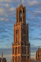 DomtorenLisa Antoinette Photography
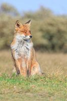 Red FoxLisa Antoinette Photography
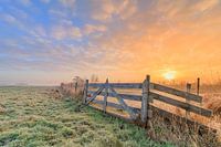 Dutch Landscape/SunriseLisa Antoinette Photography
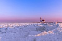 Horse of MarkenLisa Antoinette Photography
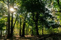 Utrecht Hill RidgeLisa Antoinette Photography
 City skylineLisa Antoinette Photography
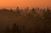 Thorn, Kaapse BossenLisa Antoinette Photography
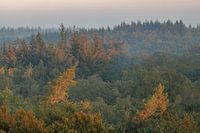 Thorn, Kaapse BossenLisa Antoinette Photography
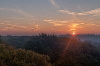 Thorn, Kaapse BossenLisa Antoinette Photography
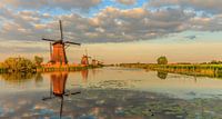 Kinderdijk world heritageLisa Antoinette Photography
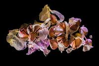 GarlicLisa Antoinette Photography
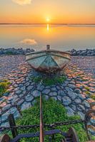 Cornward's boat.Lisa Antoinette Photography
 Scottish HighlanderLisa Antoinette Photography
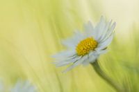 DaisyLisa Antoinette Photography
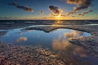 Wadden SeaLisa Antoinette Photography
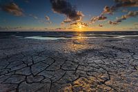 Wadden SeaLisa Antoinette Photography
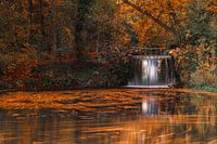 Sonsbeek, Arnhem waterfallLisa Antoinette Photography
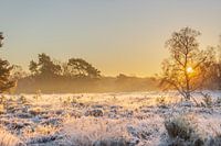 PosbankLisa Antoinette Photography
 PosbankLisa Antoinette Photography
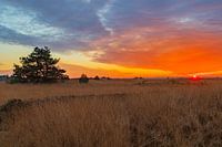 Sunset National park VeluweLisa Antoinette Photography


