Art code
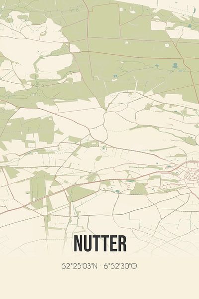


Buy this digital art artwork Vintage map of Nutter (Overijssel) by Prints of Place as a reproduction on canvas, ArtFrame, poster and wallpaper, printed on demand in high quality.
About "Vintage map of Nutter (Overijssel)"
by Prints of Place
About the artwork
Retro map of Nutter, located in Twente, in the municipality of Dinkelland, province of Overijssel. The map shows public roads, waterways (lakes, streams and ditches) and forests in and around Nutter. In addition, the map contains the coordinates of Nutter.
About Prints of Place
This shop is the destination for anyone in search of unique city posters that are a perfect reflection of their favorite city or village. In the Netherlands, Germany, America, and beyond.
With a passion for travel and a love for design, we embarked on our journey with..
Read more…
 Countries & Travel
 Digital art
 Serene Peace
 Towns
Towns Vintage
 World and country maps
CLAUDIA R.
 Germany
5
/
5
 Ordered in May 2021
FCO SECURITY
 Netherlands
5
/
5
 Ordered in September 2017
Brigitte
Netherlands
5
/
5
Ordered in January 2019
talih yurttakalin
Netherlands
5
/
5
Ordered in September 2017
Ferry Koeleman
Netherlands
5
/
5
 Ordered in December 2024
Michiel
Netherlands
5
/
5
Ordered in July 2017
Marja Pelzer
Netherlands
4.5
/
5
Ordered in November 2022
Naomi
Netherlands
5
/
5
Ordered in September 2017
Kurt K.
Germany
5
/
5
Ordered in February 2024
Marina S.
Germany
5
/
5
Ordered in January 2022
Erik
Netherlands
5
/
5
Ordered in July 2018
Jan Kuiper
Netherlands
5
/
5
Ordered in March 2024
About the material
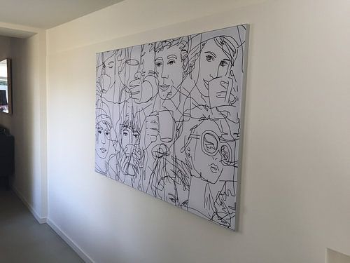
ArtFrame™
Interchangeable Art Prints
- High-quality print
- Easily interchangeable
- Acoustic function
- Large sizes available


Discover the artworks of Prints of Place
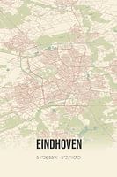 Eindhoven vintage street mapPrints of Place
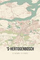 Retro map of 's-Hertogenbosch, North Brabant.Prints of Place
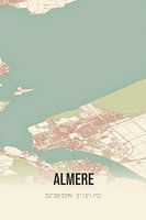 Retro map of Almere, Flevoland.Prints of Place
 Hoorn (Noord-Holland) | Map | Black and whitePrints of Place
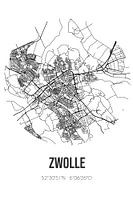 Zwolle (Overijssel) | Map | Black and whitePrints of Place
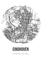 Eindhoven (North Brabant) | Map | Black and WhitePrints of Place
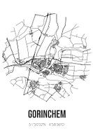 Gorinchem (South-Holland) | Map | Black and WhitePrints of Place
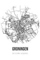 Groningen (Groningen) | Map | Black and whitePrints of Place
 Kloetinge (Zeeland) | Map | Black and whitePrints of Place
 Wormerveer (Noord-Holland) | Map | Black and WhitePrints of Place
 Alphen aan den Rijn (South-Holland) | Map | Black and WhitePrints of Place
 Hazerswoude-Rijndijk (South-Holland) | Map | Black and WhitePrints of Place
 Vintage map of Breda (North Brabant).Prints of Place
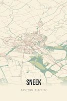 Vintage map of Sneek (Fryslan)Prints of Place
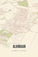 Vintage map of Alkmaar (North Holland)Prints of Place
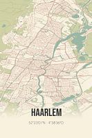 Vintage map of Haarlem (North Holland)Prints of Place
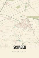 Vintage map of Schagen (North Holland)Prints of Place
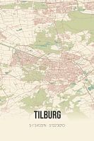 Vintage map of Tilburg (North Brabant).Prints of Place
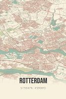 Vintage map of Rotterdam (South Holland)Prints of Place
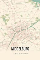 Vintage map of Middelburg (Zeeland)Prints of Place


