


Buy the photo The way is the goal by Thomas Riess on canvas, ArtFrame, poster and wallpaper, printed on demand in high quality.
About "The way is the goal"
by Thomas Riess
About the artwork
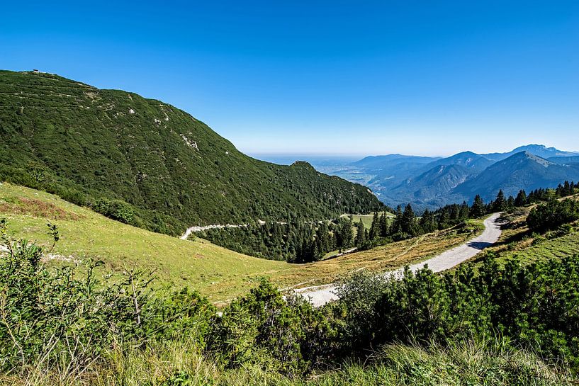
The Herzogstand is a mountain in the Bavarian Pre-Alps at 1731 m above sea level northwest of Lake Walchen. It belongs to the area of the municipality of Kochel am See and, together with its neighbour Heimgarten, forms a mountain range that is located in front of the Estergebirge and slopes down to the north into the Bavarian Alpine foothills. During the Würm ice age, the Herzogstand was a so-called nunatak, i.e. a mountain whose summit protruded approx. 330 m from the ice stream. The Kesselberg, the incision between the Herzogstand and the Jochberg, was an Alpine gateway; here a branch of the Isar-Loisach glacier, which in turn was a branch of the Inn glacier, flowed through at an altitude of about 1400 m above sea level. The Herzogstand received its name in 1535 from the Bavarian dukes Wilhelm IV and Ludwig X.[3] There has been a viewing pavilion on the summit since 1865[4] at the latest. The Wittelsbach dynasty built a hunting lodge below the present Herzogstandhaus in 1857. King Ludwig II had the so-called Königshaus built in 1865. The Herzogstandbahn, a cable car that was renovated in 1994, leads to the Fahrenbergkopf at 1627 metres. Somewhat below is the Herzogstandhaus, rebuilt after a fire in 1992, at 1575 m above sea level. Northwest of it and south of the Herzogstand peak is the Martinskopf (1675 m). (Source: WIKIPEDIA)

About Thomas Riess
Amateur photographer with advanced knowledge, retired for 6 years. Made my first experiences with photography as an employee at CANON and now, after many stations, take photos digitally with the Pentax K1 MK II and various lenses. My main focus is difficult to define. .. Read more…
 Bavaria
 Germany
 Nature and weather
 Photo wallpaper
 Photography
 Play of Light
 Powerful Expression
 Serene Peace
 Summer
 Sun
Sun Water
Water Germany
 Ordered in June 2020
Germany
Ordered in October 2021
Germany
Ordered in January 2020
Germany
Ordered in January 2024
Ordered in June 2020
Germany
Ordered in October 2021
Germany
Ordered in January 2020
Germany
Ordered in January 2024
 Netherlands
 Ordered in January 2023
Netherlands
Ordered in January 2023
Netherlands Ordered in November 2021
Germany
Ordered in December 2021
Netherlands
Ordered in August 2021
Germany
Ordered in February 2023
Germany
Ordered in September 2023
Netherlands
Ordered in January 2018
Netherlands
Ordered in February 2025
Ordered in November 2021
Germany
Ordered in December 2021
Netherlands
Ordered in August 2021
Germany
Ordered in February 2023
Germany
Ordered in September 2023
Netherlands
Ordered in January 2018
Netherlands
Ordered in February 2025
About the material
ArtFrame™
Interchangeable Art Prints
- High-quality print
- Easily interchangeable
- Acoustic function
- Large sizes available


Discover the artworks of Thomas Riess
 Flower meadowThomas Riess
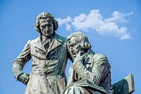 Brothers GrimmThomas Riess
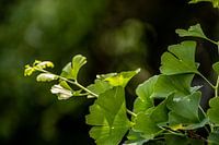 Gingko in the sunThomas Riess
 source of lifeThomas Riess
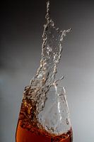 sweeping inThomas Riess
 To a glass of wineThomas Riess
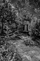 at the cemetery in FrankfurtThomas Riess
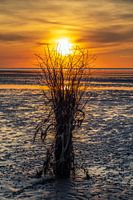 The day endsThomas Riess
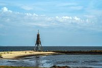 Kugelbake in CuxhavenThomas Riess
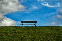 Bench on dikeThomas Riess
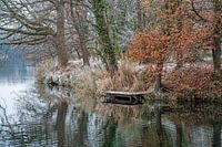 No bathing weatherThomas Riess
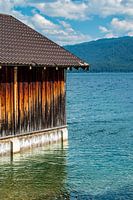 Relaxation at WalchenseeThomas Riess
 Illuminating the darknessThomas Riess
 Forest walk monochromeThomas Riess
 Towards the sunThomas Riess
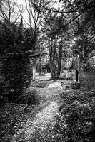 On the last roadThomas Riess
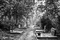 Towards the sunThomas Riess
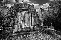 Memorial stone at Frankfurt's main cemeteryThomas Riess
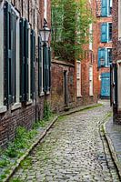 Historic old town in East FrisiaThomas Riess
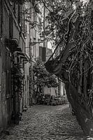 In the centre of the Trastevere districtThomas Riess


