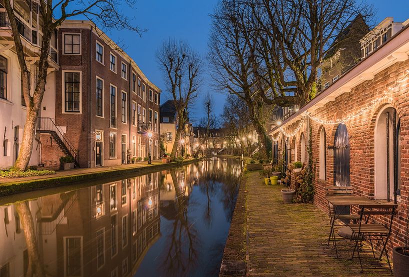

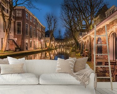


Buy the photo Quiet blue hour on the Utrecht Oudegracht by Jeroen de Jongh Photography on canvas, ArtFrame, poster and wallpaper, printed on demand in high quality.
About "Quiet blue hour on the Utrecht Oudegracht"
by Jeroen de Jongh Photography
About the artwork
The Oudegracht is the most famous canal in the Dutch city of Utrecht. The approximately two-kilometer-long canal can be considered the connecting piece between the Kromme Rijn and the Vecht and cuts through the entire inner city from south to north. For centuries it has been the main artery of the city. The system of wharves and wharf cellars of Utrecht's Oude- en Nieuwegracht is unique in the world on this scale. In 2008 there was talk of nominating the canal, bridge and wharf system for the UNESCO World Heritage List, but such a nomination has not yet taken place.
When the canals were dug, the excavated soil was used to raise the banks. In this way the danger of flooding was reduced. On the high banks a road was built with the houses of merchants behind it. Initially the banks sloped down to the water, but as early as the second half of the twelfth century the idea arose to dig tunnels from the moorings on the water to the cellars under the houses on the banks.
By building waterworks, the water level in the Oudegracht could be controlled. This gave the water level a constant low level and the storage cellars of the houses were extended under the streets to the canal on a large scale. In front of these cellars new quays were constructed. This is how the typical yards and yard cellars were created. When the process was completed in the fifteenth century, a two-kilometer long harbor with double quays had come into being, the lifeline of the city of Utrecht for centuries.
About Jeroen de Jongh Photography
I'm Jeroen, and I'll spare you the long introduction. ;) If you're looking for a landscape photo for your wall, you've come to the right place... Read more…
 Blue hour
 Canals
 Europe
 Oudegracht
 Photo wallpaper
 Photography
 Reflections
 Romantic Moments
 Serene Peace
 The Netherlands
 Utrecht
 Werfkelder Utrecht
 Netherlands
 Ordered in February 2020
 Germany
 Ordered in January 2025
Germany
Ordered in September 2020
Germany
Ordered in September 2019
Germany
Ordered in May 2020
Germany
Ordered in October 2019
Germany
Ordered in February 2021
Germany
Ordered in October 2021
Germany
Ordered in September 2023
Germany
Ordered in November 2020
Germany
Ordered in July 2019
Germany
Ordered in April 2020
Ordered in January 2025
Germany
Ordered in September 2020
Germany
Ordered in September 2019
Germany
Ordered in May 2020
Germany
Ordered in October 2019
Germany
Ordered in February 2021
Germany
Ordered in October 2021
Germany
Ordered in September 2023
Germany
Ordered in November 2020
Germany
Ordered in July 2019
Germany
Ordered in April 2020
About the material
ArtFrame™
Interchangeable Art Prints
- High-quality print
- Easily interchangeable
- Acoustic function
- Large sizes available


Discover the artworks of Jeroen de Jongh Photography
 Full moon at the flower marketJeroen de Jongh Photography
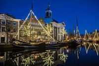 Lange HavenJeroen de Jongh Photography
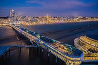 Scheveningen PierJeroen de Jongh Photography
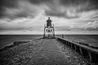 Lighthouse StavorenJeroen de Jongh Photography
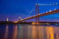 April 25th BridgeJeroen de Jongh Photography
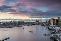 OosterdokJeroen de Jongh Photography
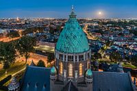 Climb to the lightJeroen de Jongh Photography
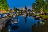 MonnickendamJeroen de Jongh Photography
 Zonnepad MonnickendamJeroen de Jongh Photography
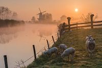 Mill de Vlinder on a misty morning in the BetuweJeroen de Jongh Photography
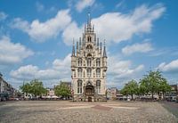 Town Hall of Gouda at the MarketJeroen de Jongh Photography
 Swans at the skyline of ZutphenJeroen de Jongh Photography
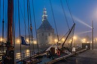 Hoorn's Hoofdtoren in the mistJeroen de Jongh Photography
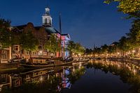 Peace and quiet at Schiedam's Lange HavenJeroen de Jongh Photography
 Autumnal vista at Utrecht's Paulus BridgeJeroen de Jongh Photography
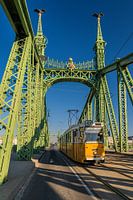 Tram 47 passes over the Freedom Bridge in BudapestJeroen de Jongh Photography
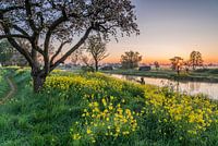 Rapeseed at sunrise in Werk aan de GroenewegJeroen de Jongh Photography
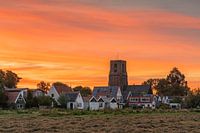 Sunset at the Tower of Ransdorp in AmsterdamJeroen de Jongh Photography
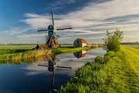 Morning light at the Blauwe Wip windmillJeroen de Jongh Photography
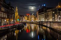
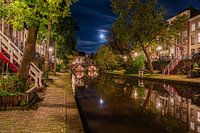 Full moon over Utrecht's Oudegracht canalJeroen de Jongh Photography


