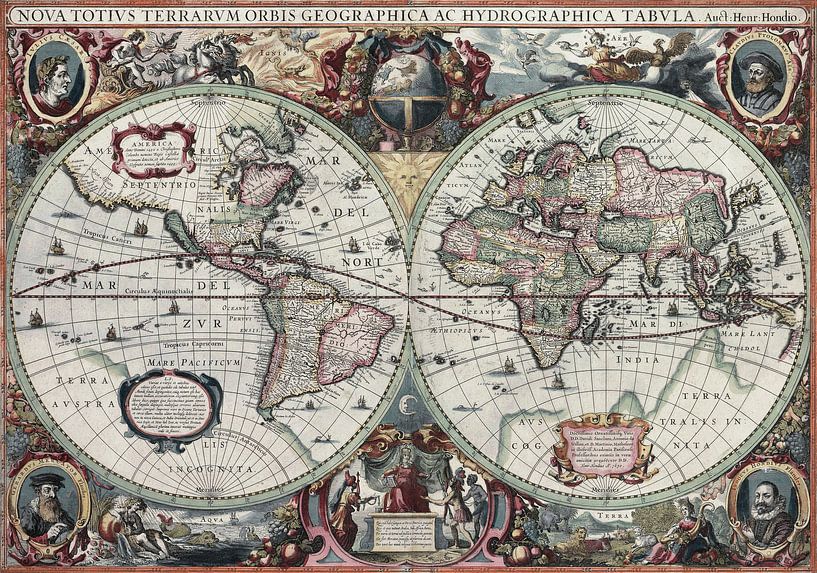

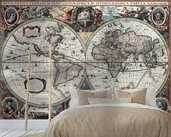
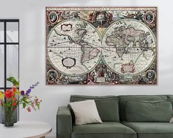

New Geographic and Hydrographic Map of the Whole World, 1630 from the old master collection

Buy New Geographic and Hydrographic Map of the Whole World, 1630 as a reproduction on canvas, ArtFrame, poster and wallpaper, printed on demand in high quality.
1 Personalize your artwork

Choose your material

From ArtFrame™ to wall-filling wallpaper. Pick your favorite and make it truly yours.

More options available
Material More about this material

Choose your size

From a small frame to a statement piece. Choose what fits your interior!

Choose your size

More options available
Size
Complete set or interchangeable Art Print?
Choose the color of the frame
Aluminum frames
Wooden frames New
ArtFrame comes as a simple construction kit. View self-assembly instructions.
2 Choose extra options
Acoustic material
Total price
2 230 kr
Art code 317552
Art code copied
New Geographic and Hydrographic Map of the Whole World, 1630 by Masterful Masters
You can't see it in full detail right now, but you certainly will on your wall soon!
Scroll to zoom in, drag to move the artwork. Drag with your finger to move the artwork.
View artwork larger
Close
Edit background and wallpaper
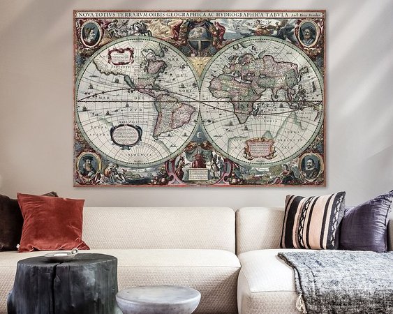
Example of the artwork in a room
See it at home, on your wall
Download our app and enter work code 317552
Art code copied
Download for iOS Android
Already filled more than 375,000 walls!
5,079 customers rate us with a 4.8 / 5
Read our reviews
New Geographic and Hydrographic Map of the Whole World, 1630
  • New Geographic and Hydrographic Map of the Whole World, 1630
  • Example of the artwork in a room
  • Example of the artwork in a room
Get even more inspired

Get even more inspired

New Geographic and Hydrographic Map of the Whole World, 1630
Canvas
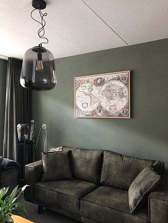
Customer photo: New Geographic and Hydrographic Map of the Whole World, 1630
Example of the artwork in a room
Artist impression (not based on the entered sizes)
Example of the artwork in a room
Artist impression (not based on the entered sizes)
Example of the artwork in a room
Artist impression (not based on the entered sizes)

About ‘New Geographic and Hydrographic Map of the Whole World, 1630’

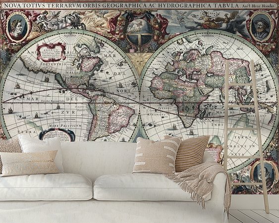
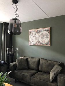
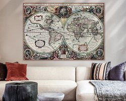
This is an image of Nova totius Terrarum Orbis geographica ac hydrographica tabula, a map of the world created by Hendrik Hondius in 1630, and published the following year in the atlas Atlantis Maioris Appendix.

Among its claims to notability is the fact that it was the first dated map published in an atlas, and therefore the first widely available map, to show any part of Australia, the only previous map to do so being Hessel Gerritsz' 1627 Caert van't Landt van d'Eendracht ("Chart of the Land of Eendracht"), which was not widely distributed. The Australian coastline shown is part of the west coast of Cape York Peninsula, discovered by Jan Carstensz in 1623. Curiously, the map does not show the west coast features shown in Gerritsz' Caert. The original map was executed in 1630, and published in 1631.

Discover our ArtFrame

The modern canvas alternative

Your chosen art on a textile print, stretched in an aluminum or wooden frame. Quick and easy to change for a fresh look and exactly as you want it.

  • High-quality print
  • Easily replaceable
  • Acoustic function
  • Large formats possible
More about ArtFrame
4.8/5
Close

Your preferences

Choose the country you want the artwork shipped to.

Shipping country not available? Get in touch.