


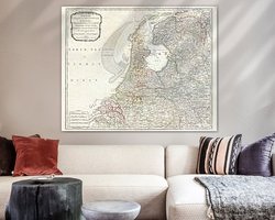

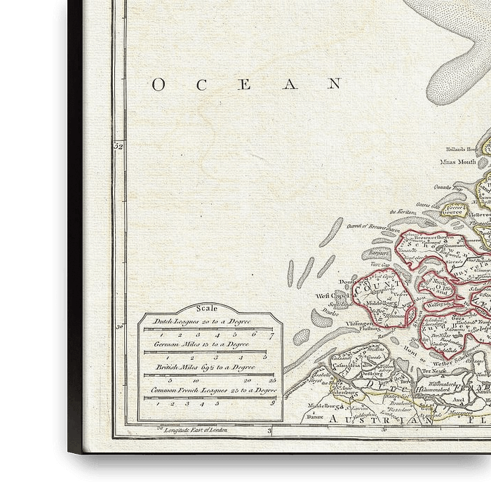
About ‘Map of the Netherlands 1794’ by Atelier Liesjes
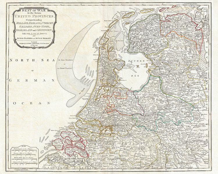
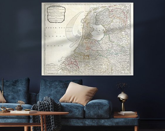
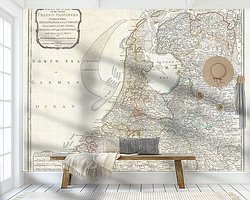
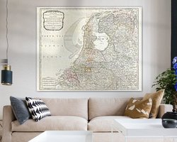
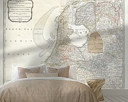
English map and map of the Netherlands or the seven provinces at the end of the 18th century. These are Holland, Zeeland, Utrecht, Gelders, Gelre or Gelderland, Overijssel, Friesland and Groningen together with Drenthe. In addition, Flanders and Brabant.
This is a "Laurie and Whittle Map".
Colors
Discover our ArtFrame
The modern canvas alternative
Your chosen art on a textile print, stretched in an aluminum or wooden frame. Quick and easy to change for a fresh look and exactly as you want it.
- High-quality print
- Easily replaceable
- Acoustic function
- Large formats possible
Meet the artist
Atelier Liesjes
Netherlands

Art for sale. Shop with photos and art as wall decoration. Posters, metal (aluminium or steel), glass, canvas, photo print, wood, framed, canvas, photo wallpaper or garden canvas.
The collection of wall decoration or wall decorations is very broad, from nature through beautiful or sexy people to technical things like cars, but also paintings. The house decoration can be used throughout the interior, from the living room to the bedroom and even in the bathroom. Do a…
Discover the artworks of Atelier Liesjes


Customer reviews
4.8/5

Related collections