


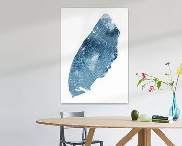
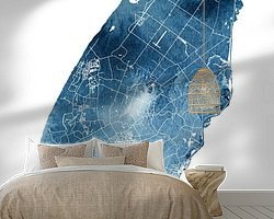

Buy this digital art artwork Map of Texel | Ocean Blue | Watercolour painting by WorldMapShop as a reproduction on canvas, ArtFrame, poster and wallpaper, printed on demand in high quality.
About "Map of Texel | Ocean Blue | Watercolour painting"
by WorldMapShop
About the artwork
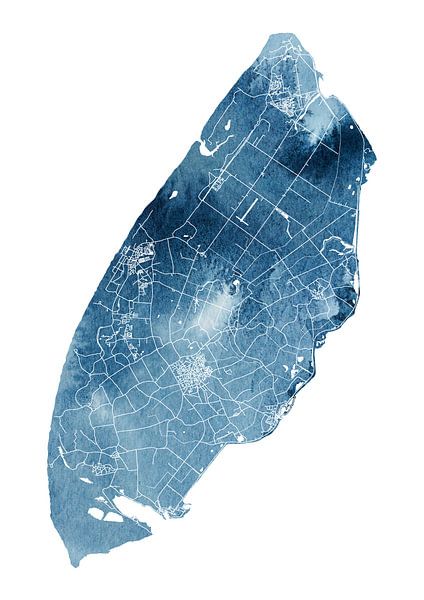
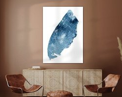
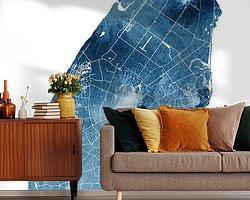
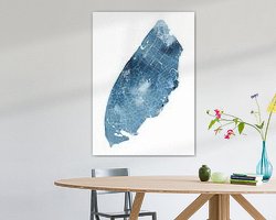
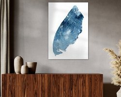
With this fresh ocean blue map of Texel in watercolour, enjoy this beautiful Wadden island every day.
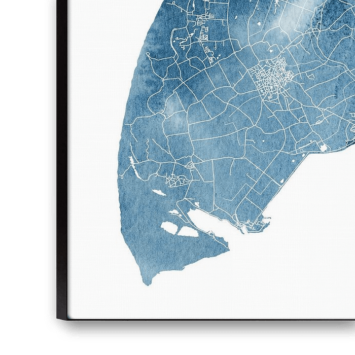
Click on the map to see a close-up.
This minimalist line drawing of the map of Texel is hand-drawn and illustrated very accurately with a digital drawing pen.
The main streets of Texel's well-known villages, such as Den Burg, De Koog, Den Hoorn, Cocksdorp and Oudeschild, can also be seen in this map.
The blue background is also hand-painted in watercolour and has beautiful flowing effects and granulation what you are used to seeing in a watercolour. The map and watercolour were then brought together digitally.
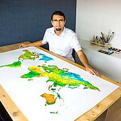
Ricardo Bouman is the creator of this cartographic artwork and works as a graphic designer in daily life. As a hobby, he creates world and country maps in both artistic and modern ways.
This map has been digitised in high resolution and is available in any format.
Think of a large format Canvas in a reception area, as Seamless Wallpaper in a living room, bedroom or hotel room or on a large format Art Frame (with or without acoustic function) in a meeting room or reception area.
This map of Texel is also available with other background colours and in other aspect ratios, such as square or as a wall circle.
This map is also available with the name of the island.
About WorldMapShop
WorldMapsShop is a design studio where artistic cartographic illustrations and paintings are created by graphic designer, photographer and painter Ricardo Bouman.
In his studio and workshop, he works with both analogue mediums 'paints and inks' and modern digital mediums 'vector line drawings, typography and proprietary photographic images'.
His unique..
Read more…
 Digital art
 Line drawings
 Mysterious Spheres
 Serene Peace
 Texel
Texel Wadden Islands and Wadden Sea
 World and country maps
 Netherlands
 Ordered in March 2024
Netherlands
Ordered in March 2024
Netherlands Ordered in July 2023
 Germany
 Ordered in February 2021
Netherlands
Ordered in August 2021
Netherlands
Ordered in May 2021
Germany
Ordered in February 2021
Germany
Ordered in February 2022
Netherlands
Ordered in September 2025
Germany
Ordered in May 2021
Netherlands
Ordered in June 2018
Netherlands
Ordered in August 2025
Germany
Ordered in November 2024
Ordered in February 2021
Netherlands
Ordered in August 2021
Netherlands
Ordered in May 2021
Germany
Ordered in February 2021
Germany
Ordered in February 2022
Netherlands
Ordered in September 2025
Germany
Ordered in May 2021
Netherlands
Ordered in June 2018
Netherlands
Ordered in August 2025
Germany
Ordered in November 2024
About the material
ArtFrame™
Interchangeable Art Prints
- High-quality print
- Easily interchangeable
- Acoustic function
- Large sizes available


Discover the artworks of WorldMapShop
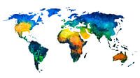 Worldmap in colorful watercolorWorldMapShop
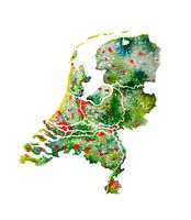 The Netherlands | Watercolour Map | Also beautiful as a wall circleWorldMapShop
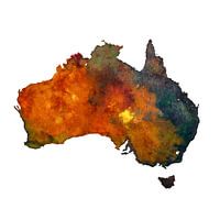 Australia | Map in watercolour | PaintingWorldMapShop
 Typographic World Map | DutchWorldMapShop
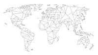 Geometric World Map | Linear drawing | Black on WhiteWorldMapShop
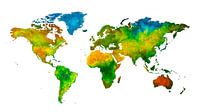 World map in watercolour | Handmade paintingWorldMapShop
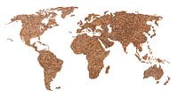 World map of Coffee beans | CollageWorldMapShop
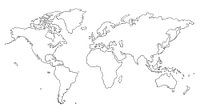 World map | Line drawingWorldMapShop
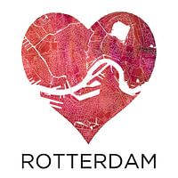 Love for Rotterdam | City map in a heartWorldMapShop
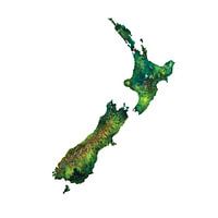 New Zealand Watercolor PaintingWorldMapShop
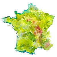 France | Map as a watercolor paintingWorldMapShop
 Typographic World Map | EnglishWorldMapShop
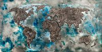 World map of ConcreteWorldMapShop
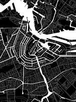 Amsterdam | Modern City Map in black and whiteWorldMapShop
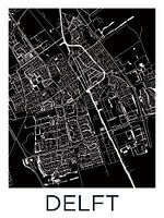 Delft | City Map BlackWhiteWorldMapShop
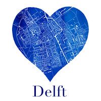 Delft | City map in a Delft Blue heart of watercolourWorldMapShop
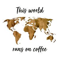 World map of Espresso | Quote | Wall circleWorldMapShop
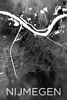 Nijmegen | City map on black watercolourWorldMapShop
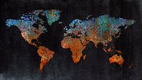 World map of rust | metal and watercolorWorldMapShop
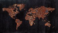 World map | Rust with three structuresWorldMapShop


