

Art code
Art code copied
You can't see it in full detail right now, but you certainly will on your wall soon!
Scroll to zoom in, drag to move the artwork.
Drag with your finger to move the artwork.

Already filled more than 400,000 walls!
Get even more inspired
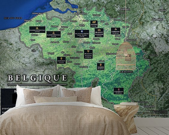
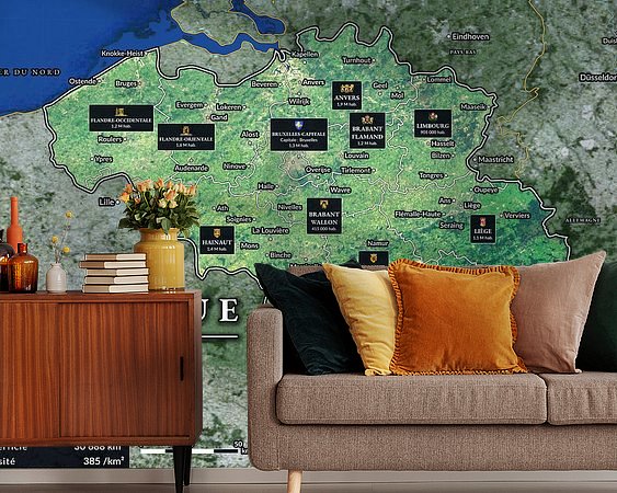
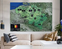
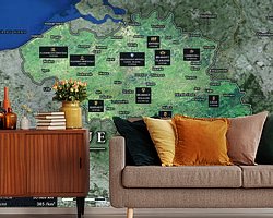
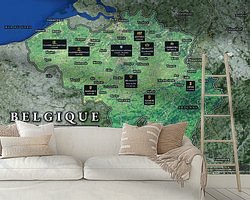
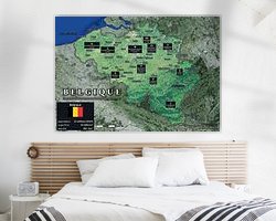
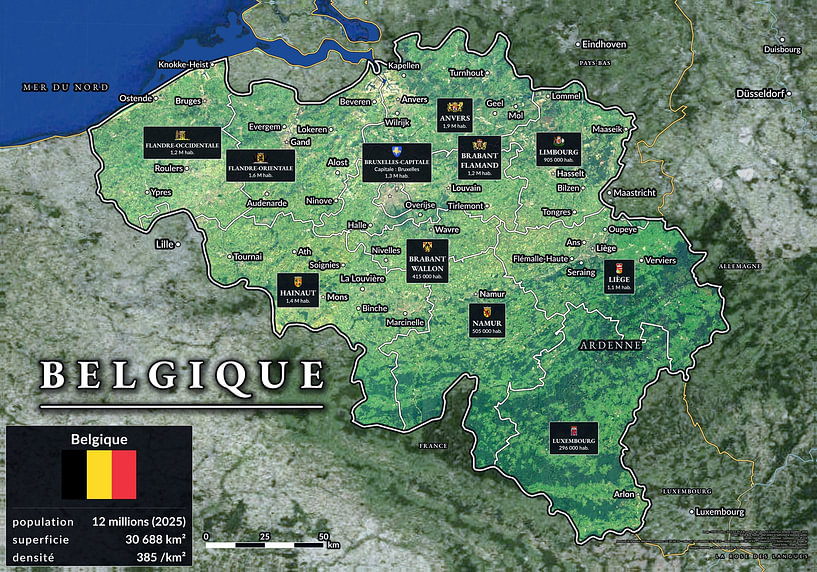
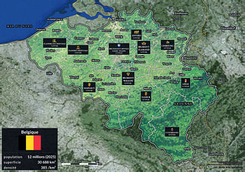
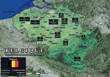
About ‘Map of Belgium: the ten provinces and Brussels seen from the air’ by La Rose des langues
The ten provinces and the Brussels-Capital Region are all displayed on a single wall, each with its own information sheet: its coat of arms, its name, its population and the child’'étoile de son chef-lieu. Le fond est une vraie photographie satellite, où l'on suit la côte de la mer du Nord, les polders de Flandre, la vallée de…
Colors
Discover our ArtFrame
The modern canvas alternative
Your chosen art on a textile print, stretched in an aluminum or wooden frame. Quick and easy to change for a fresh look and exactly as you want it.
- High-quality print
- Easily replaceable
- Acoustic function
- Large formats possible
Meet the artist
La Rose des langues
Paris, France
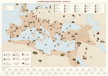
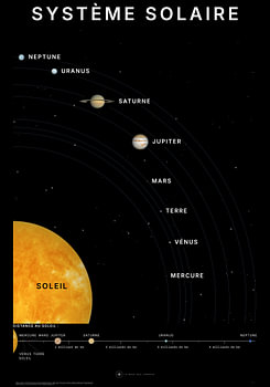
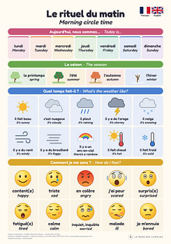
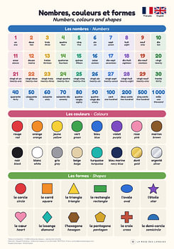
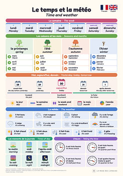
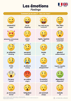
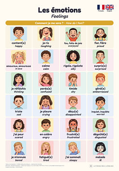
La Rose des langues designs educational wall maps: the world’s volcanoes, the Solar System shown to its true scale, the great empires, and countries and their regions. Each map is designed in Paris, proofread line by line, and designed to be read from both a distance and up close – in the classroom, in a child’s bedroom or above a desk.
Visit shop
Discover the artworks of La Rose des langues
Customer reviews
4.8/5

Related collections


