


Buy this digital art artwork Love for Zoetermeer Black&White | City map in a heart by WorldMapShop as a reproduction on canvas, ArtFrame, poster and wallpaper, printed on demand in high quality.
About "Love for Zoetermeer Black&White | City map in a heart"
by WorldMapShop
About the artwork
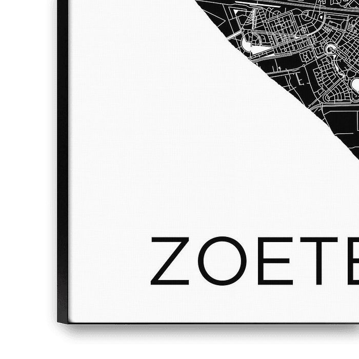
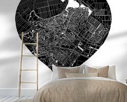
For a close-up of this artwork click on the picture.
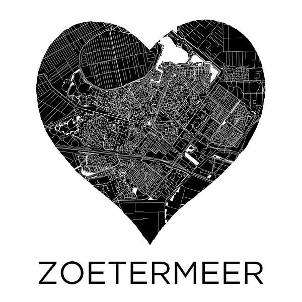
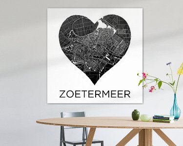
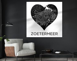
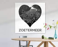
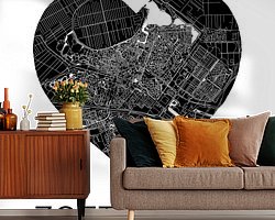
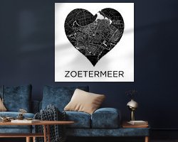
Illustrated city map of Zoetermeer and Benthuizen in a heart of red watercolour.
This highly detailed artwork is a fusion of analogue and digital illustrations.
The floor plan of Zoetermeer is incorporated into this work of art in the red heart. Under the heart is the city name Zoetermeer in black letters. Around the heart is the muscle white so that the attention is completely focused on the map.
This city map shows the following Zoetermeer neighbourhoods:
Zoetermeer Centre, Zoetermeer Village, Oosterheem, Meerzicht, Noordhove, Palenstein, Seghwaert, Driemanspolder, Buytenwegh, De Leyens, Rokkeveen, Lansinghage, Zoetermeer Lake ( North Aa ), Noordhoven Lake, Benthuizerplas, Bentwoud and the village of Benthuizen.
This city map is a creation of Ricardo Bouman.
This concept and work of art are copyrighted.
About WorldMapShop
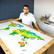
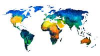
WorldMapsShop is a design studio where artistic cartographic illustrations and paintings are created by graphic designer, photographer and painter Ricardo Bouman.
In his studio and workshop, he works with both analogue mediums 'paints and inks' and modern digital mediums 'vector line drawings, typography and proprietary photographic images'.
His unique..
Read more…
 Digital art
 Love
Love North Holland
 Nostalgic Memories
 Romantic Moments
 World and country maps
 Germany
 Ordered in October 2021
Germany
Ordered in October 2019
Germany
Ordered in June 2025
Ordered in October 2021
Germany
Ordered in October 2019
Germany
Ordered in June 2025
 Netherlands
 Ordered in December 2021
Netherlands
Ordered in December 2021
Netherlands Ordered in November 2023
Netherlands
Ordered in August 2019
Netherlands
Ordered in November 2018
Netherlands
Ordered in July 2025
Netherlands
Ordered in December 2024
Netherlands
Ordered in December 2021
Germany
Ordered in December 2024
Netherlands
Ordered in July 2019
Ordered in November 2023
Netherlands
Ordered in August 2019
Netherlands
Ordered in November 2018
Netherlands
Ordered in July 2025
Netherlands
Ordered in December 2024
Netherlands
Ordered in December 2021
Germany
Ordered in December 2024
Netherlands
Ordered in July 2019
About the material
ArtFrame™
Interchangeable Art Prints
- High-quality print
- Easily interchangeable
- Acoustic function
- Large sizes available


Discover the artworks of WorldMapShop
 Worldmap in colorful watercolorWorldMapShop
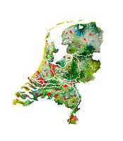 The Netherlands | Watercolour Map | Also beautiful as a wall circleWorldMapShop
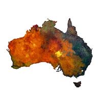 Australia | Map in watercolour | PaintingWorldMapShop
 Typographic World Map | DutchWorldMapShop
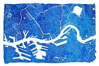 Rotterdam city map | Blue watercolour with a white frameWorldMapShop
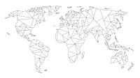 Geometric World Map | Linear drawing | Black on WhiteWorldMapShop
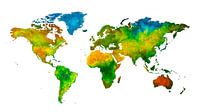 World map in watercolour | Handmade paintingWorldMapShop
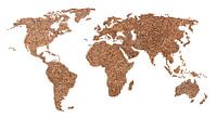 World map of Coffee beans | CollageWorldMapShop
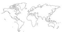 World map | Line drawingWorldMapShop
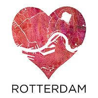 Love for Rotterdam | City map in a heartWorldMapShop
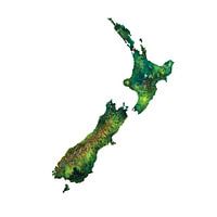 New Zealand Watercolor PaintingWorldMapShop
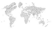 Typographic World Map | EnglishWorldMapShop
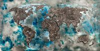 World map of ConcreteWorldMapShop
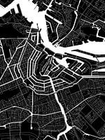 Amsterdam | Modern City Map in black and whiteWorldMapShop
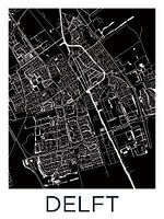 Delft | City Map BlackWhiteWorldMapShop
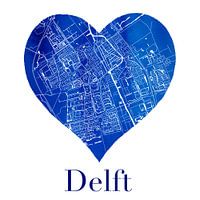 Delft | City map in a Delft Blue heart of watercolourWorldMapShop
 World map of Espresso | Quote | Wall circleWorldMapShop
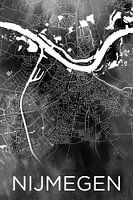 Nijmegen | City map on black watercolourWorldMapShop
 World map of rust | metal and watercolorWorldMapShop
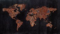 World map | Rust with three structuresWorldMapShop


