

Art code
Art code copied
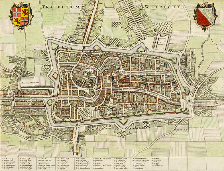
You can't see it in full detail right now, but you certainly will on your wall soon!
Scroll to zoom in, drag to move the artwork.
Drag with your finger to move the artwork.
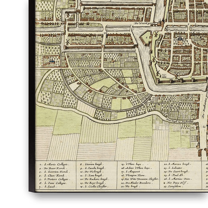
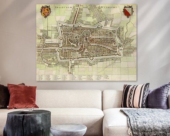
Already filled more than 400,000 walls!
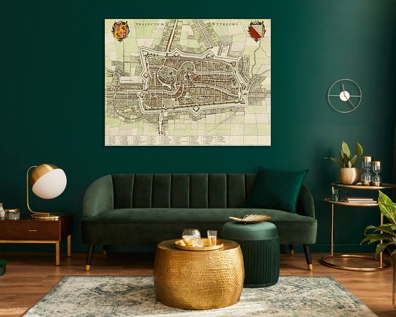
Get even more inspired
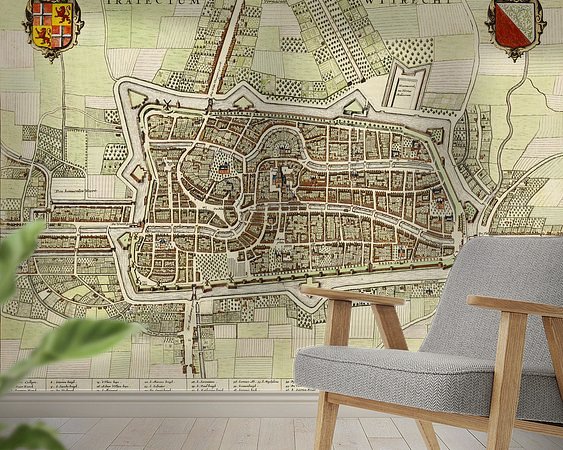
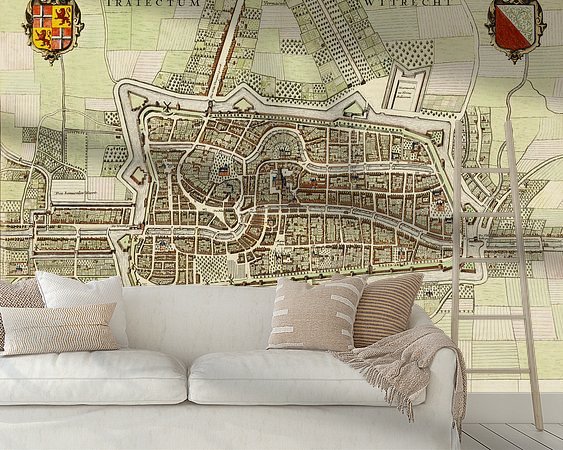
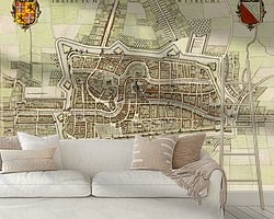
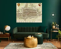
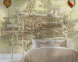
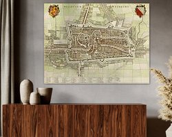
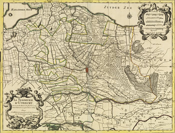
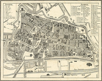
About ‘Historical map of Utrecht, 1644 – Old map of Traiectum Ultraiectum’ by Nederlands Erfgoed
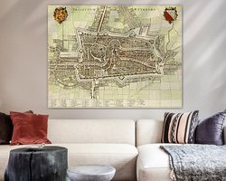
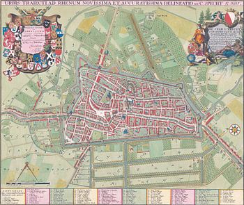
Discover Utrecht as it was nearly 400 years ago with this remarkable historical city map from 1644. This beautifully detailed, antique map shows what the city of Utrecht looked like in the 17th century.
The map depicts the historic city centre, surrounded by impressive city walls and bastions. Within the defences, we can see the…
Colors
Discover our ArtFrame
The modern canvas alternative
Your chosen art on a textile print, stretched in an aluminum or wooden frame. Quick and easy to change for a fresh look and exactly as you want it.
- High-quality print
- Easily replaceable
- Acoustic function
- Large formats possible
Meet the artist
Nederlands Erfgoed
Amsterdam, Netherlands

Welcome to our webshop! With us, you will find an extensive collection of digital historical maps of the Netherlands. Dive into the past and discover the wonderful cartographic treasures our country has to offer.
Our webshop is the destination for lovers of history, heritage and cartography. We offer a wide range of digital maps carefully selected and digitised to bring the rich history of the Netherlands to life.
Whether you are interested in city maps,…
Discover the artworks of Nederlands Erfgoed




Customer reviews
4.8/5

Related collections