Buy Fair World Map (Dutch-language) by Maps Are Art on canvas, ArtFrame, poster and wallpaper, printed on demand in high quality.
About "Fair World Map (Dutch-language)"
by Maps Are Art
About the artwork
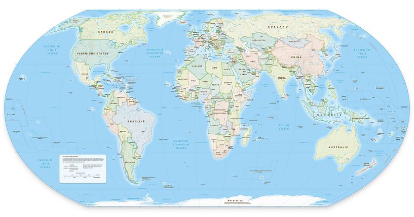
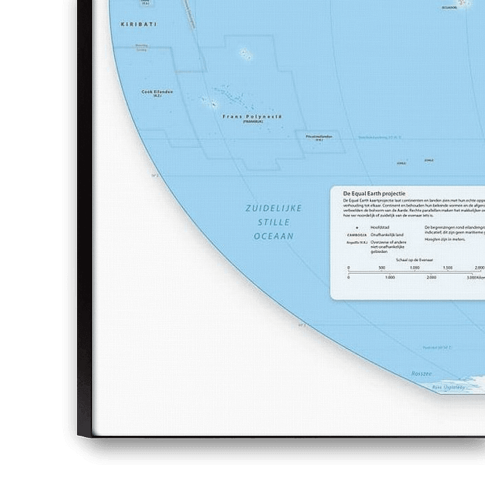
It is best to print this card at a large size so that the letters come out well.
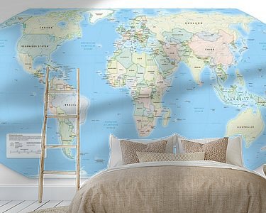
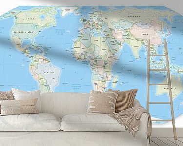
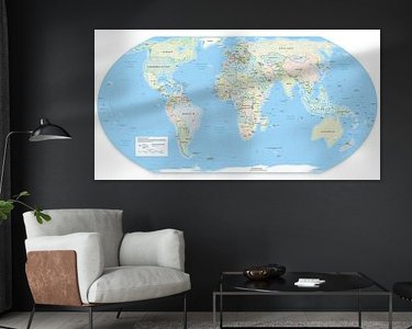
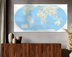
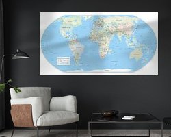
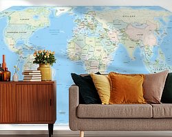
This is the Dutch-language version of the world map . The map contains the names of Countries, Capital Cities, Rivers, Seas and Islands.
The world map has the Equal Earth projection. This means that the surface of the countries reflects the actual surface as much as possible. On the more commonly used 'normal' Mercator projections, the areas further from the equator are often exaggerated, making Europe, for example, look larger. On this map, Africa and South America are larger than we are used to but that is the reality.
It is impossible to properly represent the globe in a flat rectangular map. But because this projection rounds off the corners, you still get a more aesthetically pleasing map reminiscent of the globe. This is in contrast to the Gall-Peters projection, which has enjoyed recent fame and also respects actual surfaces.

About Maps Are Art
Mapmaker, geography enthusiast, GIS expert and all-round creative... Read more…
 Netherlands
 Ordered in April 2022
 Netherlands
 Ordered in December 2024
 Germany
 Ordered in February 2020
 Germany
 Ordered in December 2024
 Germany
 Ordered in May 2020
 Germany
 Ordered in October 2019
 Germany
 Ordered in April 2020
 Germany
 Ordered in September 2023
 Netherlands
 Ordered in July 2020
 Netherlands
 Ordered in June 2021
 Netherlands
 Ordered in May 2021
 Netherlands
 Ordered in May 2018
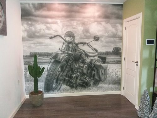
About the material
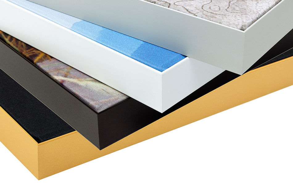
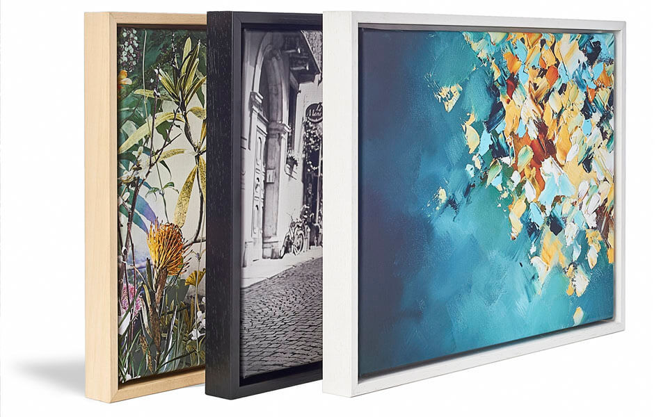
ArtFrame™
Interchangeable Art Prints
- High-quality print
- Easily interchangeable
- Acoustic function
- Large sizes available
Discover the artworks of Maps Are Art
 Map of Apeldoorn abstractMaps Are Art
 Map of Breda abstractMaps Are Art
 Map of Maastricht abstractMaps Are Art
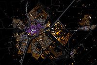 Kaart van MiddelburgMaps Are Art
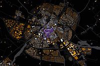 Map of Sneek abstractMaps Are Art
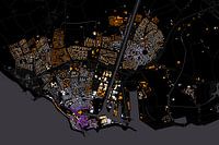 Map of Flushing abstractMaps Are Art
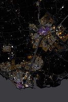 Abstract map Middelburg and VlissingenMaps Are Art
 Nijmegen Art Nouveau MapMaps Are Art
 Maastricht Art Nouveau MapMaps Are Art
 Eindhoven Art Nouveau MapMaps Are Art
 Arnhem Art Nouveau MapMaps Are Art
 Urecht Jugendstil MapMaps Are Art
 Map of Amsterdam in the style of Gustav KlimtMaps Are Art
 Panoramic aerial photo of Rotterdam EuropoortMaps Are Art
 Vibrant world mapMaps Are Art
 Van Gogh-style world mapMaps Are Art
 Impressionistic world map mer Wabi Sabi coloursMaps Are Art
 Colourful impressionist world mapMaps Are Art
 Impressionistic world map in light coloursMaps Are Art
 Impressionistic world map with intense colours.Maps Are Art





 Africa
 Drawings
 Oceans and seas
 Serene Peace
 Towns
Towns World and country maps
