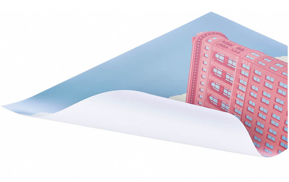
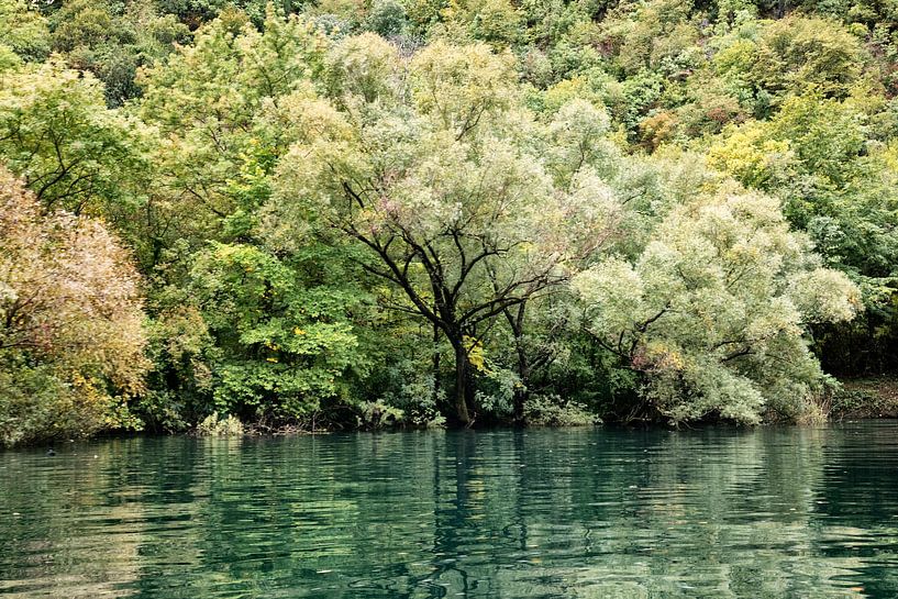
Buy the photo Cetina gorge - Croatia by Dries van Assen on canvas, ArtFrame, poster and wallpaper, printed on demand in high quality.
About "Cetina gorge - Croatia"
by Dries van Assen
About the artwork
Cetina is a river in Central Dalmatia, which is located in Croatia. The river has a total length of 105 km, an area of 3,700 km², and drops 385 meters from its source to the Adriatic Sea.
Geography and geology.
The Cetina rises on the northwest side of the Dinara, in a village called Cetina (about 7 kilometers from Vrlika). A large created lake begins close to Vrlika, Lake Peruča, this was created by a dam 25 kilometers downstream. The Cetina flows through the lower part of the Sinj karst field. The river flows eastward and around Mount Mosor westward before flowing into the Adriatic Sea in the town of Omiš.
At the end of the basin, the Cetina makes a considerable drop, this benefits the hydroelectric power plant near Zakučac.
History
The river served as a border between Dalmatia and Neretiva since the first half of the 7th century, later it was a border between the Duchy of Croats (since 856, and since 925 Kingdom of Croatia and Raška. After the Byzantines regained control of the duchies, the river became a border between the Croatian Kingdom and the Byzantine Empire. After Stefan Nemanja merged several duchies in the second half of the 12th century, the river became a border between the Croatian-Hungarian Kingdom (since 1102) and the Grand Duchy of Rascia (since 1166, and since 1217 the Serbian Kingdom).
Serbian fighters wanted to blow up the dam of the lake filled to the brim during Operation Storm, but it did not come to that.

About Dries van Assen
Photography is one of my hobbies that I put a lot of time into, anything that comes in front of my camera and is worthwhile I put on the photo.My preference is landscape and architectural photography... Read more…
 Germany
 Ordered in July 2019
 Germany
 Ordered in September 2019
 Germany
 Ordered in November 2021
 Germany
 Ordered in August 2019
 Netherlands
 Ordered in April 2021
 Germany
 Ordered in February 2020
 Netherlands
 Ordered in November 2022
 Germany
 Ordered in January 2020
 Germany
 Ordered in January 2022
 Germany
 Ordered in March 2019
 Netherlands
 Ordered in January 2019
 Germany
 Ordered in May 2021
About the material
ArtFrame™
Interchangeable Art Prints
- High-quality print
- Easily interchangeable
- Acoustic function
- Large sizes available
Discover the artworks of Dries van Assen
 Nhow hotel in Rotterdam of architect Rem Koolhaas Dries van Assen
 New tower in KampenDries van Assen
 Rice fields -Ubud -Bali -IndonesiaDries van Assen
 Bandung - IndonesiaDries van Assen
 The Bromo - IndonesiaDries van Assen
 The Bromo -IndonesiaDries van Assen
 The Bromo - IndonesiaDries van Assen
 Kampen - the NetherlandsDries van Assen
 The BorobudurDries van Assen
 Mezquita - CordobaDries van Assen
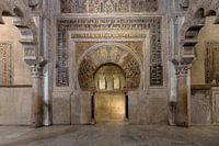 Mezquita - CordobaDries van Assen
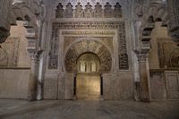 Mezquita - CordobaDries van Assen
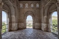 Granada -AlhambraDries van Assen
 Seville - Maria de la Sede CathedralDries van Assen
 Peñíscola - SpainDries van Assen
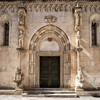 Sibenik - CroatiaDries van Assen
 Trogir - CroatiaDries van Assen
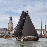 Oostwal Botterrace in Kampen a race with historic shipsDries van Assen
 Oostwal Botterrace in Kampen a race with historic shipsDries van Assen
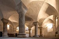 Crypt in the Lebuineskerk in DeventerDries van Assen


 Croatia
 Nature photography
 Photo wallpaper
 Photography
 Serene Peace


