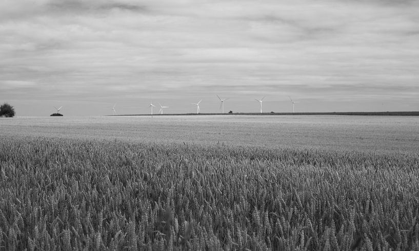


About ‘Windmills’ by MSP Canvas
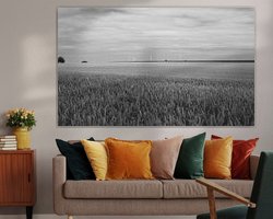
Vetschauer Berg windmills - The Vetschauer Berg (Dutch: Vetschouwerberg) is a hill in the west of the German city of Aachen, south of the hamlet of Vetschau and just east of the Dutch border at Bocholtz. Geographically, it is the northern plateau ridge of the Vaalse Heuvelland and thus forms the transition between the highlands of the…
Colors
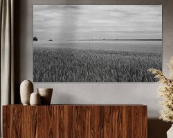
Discover our ArtFrame
The modern canvas alternative
Your chosen art on a textile print, stretched in an aluminum or wooden frame. Quick and easy to change for a fresh look and exactly as you want it.
- High-quality print
- Easily replaceable
- Acoustic function
- Large formats possible

Meet the artist
MSP Canvas
Maastricht, Netherlands

I photograph landscapes, animal portraits, macro / nature. If you are looking for a specific image, but do not find it in my webshop, you can always contact me via e-mail. Follow me on Twitter and facebook for the latest news.
Visit shop
Discover the artworks of MSP Canvas


Customer reviews
4.8/5

Related collections