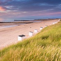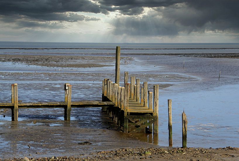


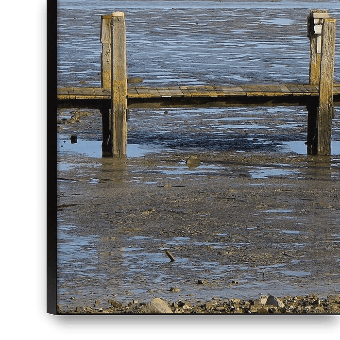
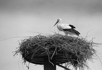
About ‘Wadden Sea’ by Jose Lok
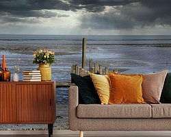
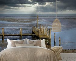
The Wadden Sea (Frisian: Waadsee, German: Wattenmeer, Danish: Vadehavet) is the inland sea between the Wadden Islands and the North Sea on one side, and the mainland of the Netherlands, Germany and Denmark on the other side.
The area extends between Den Helder in the Netherlands and Esbjerg in Denmark, has a length of 500 km and…
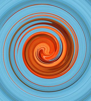
Colors
Discover our ArtFrame
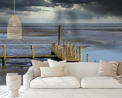
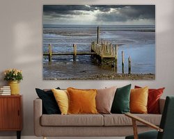
The modern canvas alternative
Your chosen art on a textile print, stretched in an aluminum or wooden frame. Quick and easy to change for a fresh look and exactly as you want it.
- High-quality print
- Easily replaceable
- Acoustic function
- Large formats possible
Meet the artist
Jose Lok
Maurik, Netherlands

My husband ( Arie Lok ) and I are both fanatical photographers so we regularly go out together to photograph beautiful landscapes, animals, birds and actually everything that is beautiful.
He with his Nikon and I with my Canon.
We were regularly asked to do something with these photos, this made me decide to open this webshop.
Here you will see both of us, even though my name is on it.
Discover the artworks of Jose Lok


Customer reviews
4.8/5

Related collections