


Buy this illustration Pictorial map of the USA by World Maps on canvas, ArtFrame, poster and wallpaper, printed on demand in high quality.
About "Pictorial map of the USA"
by World Maps
About the artwork
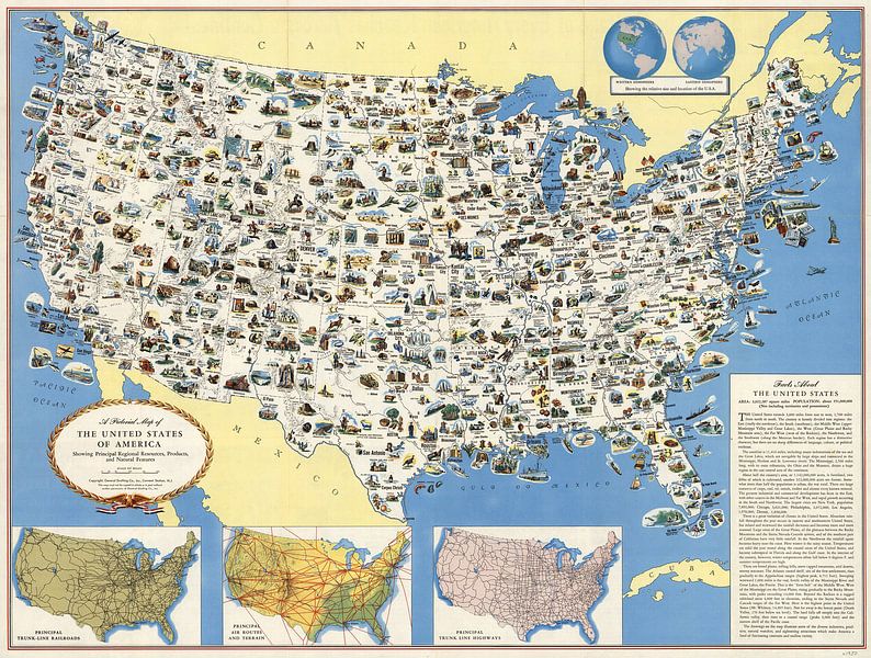
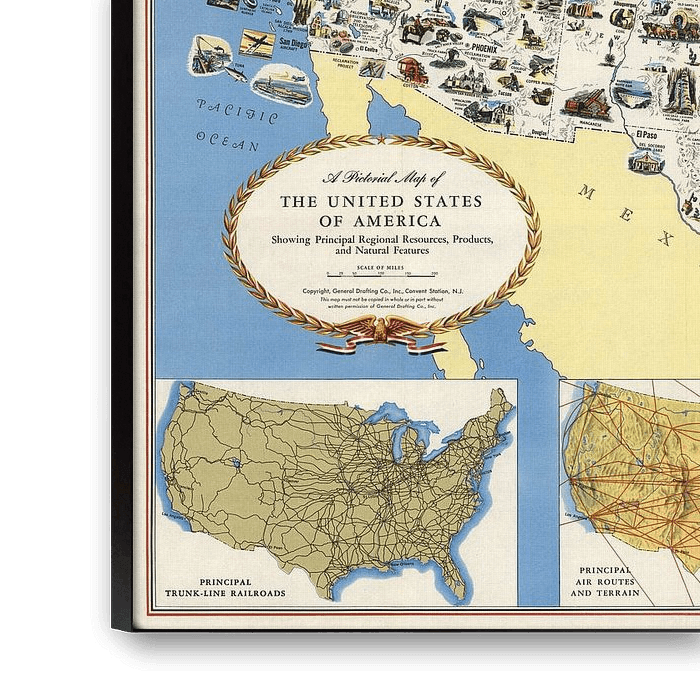
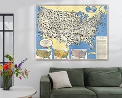
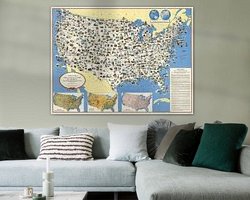
Pictorial map of the United States of America. Pictorial map in color on sheet 62x81, folded to self cover 20.5x13.5. Date estimated. Shows state boundaries, cities and towns, roads, agricultural products, natural resources, industry, parks, major buildings and monuments, recreational activities, etc. Includes text of "Facts about the United States". On verso: cover title, map, distant char, text and illustrations. Relief shown pictorially and by hachures.

About World Maps
Historical World Maps, Creative World Maps, Globes, Digital Edited World Maps.... all world maps... Read more…
 Classic
 Illustrations
 North America
 Nostalgic Memories
 Vintage
 World and country maps
 Germany
 Ordered in January 2022
 Netherlands
 Ordered in October 2022
Netherlands
Ordered in January 2022
Netherlands
Ordered in October 2022
Netherlands
Ordered in January 2022
Netherlands Ordered in August 2021
Germany
Ordered in February 2024
Netherlands
Ordered in June 2019
Germany
Ordered in January 2024
Germany
Ordered in March 2022
Netherlands
Ordered in May 2017
Netherlands
Ordered in September 2025
Germany
Ordered in November 2020
Germany
Ordered in January 2021
Ordered in August 2021
Germany
Ordered in February 2024
Netherlands
Ordered in June 2019
Germany
Ordered in January 2024
Germany
Ordered in March 2022
Netherlands
Ordered in May 2017
Netherlands
Ordered in September 2025
Germany
Ordered in November 2020
Germany
Ordered in January 2021
About the material
ArtFrame™
Interchangeable Art Prints
- High-quality print
- Easily interchangeable
- Acoustic function
- Large sizes available


Discover the artworks of World Maps
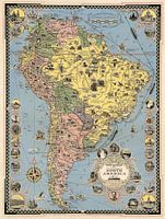 Pictorial Map of South AmericaWorld Maps
 World Wonders, A Pictorial MapWorld Maps
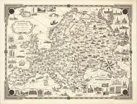 Europe : A pictorial mapWorld Maps
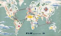 Map of KLM Royal Dutch Airlines Flight RoutesWorld Maps
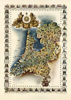 Historic HollandWorld Maps
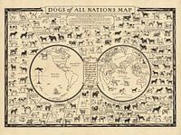 Dogs of All Nations MapWorld Maps
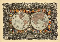 This World of OursWorld Maps
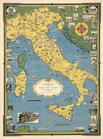 Italy, with Vatican City World Maps
 Folding MapWorld Maps
 World on the HandsWorld Maps
 Ocean CoverageWorld Maps
 Leaves World MapWorld Maps
 Blue World Map on PaperWorld Maps
 Holiday World MapWorld Maps
 Tourist World TripWorld Maps
 Texture World MapWorld Maps
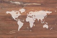 World Map on WoodWorld Maps
 Adventurer on the MapWorld Maps
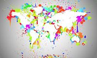 World Map White SplashWorld Maps
 World Map Black SplashWorld Maps


