


Art code
You can't see it in full detail right now, but you certainly will on your wall soon!
Scroll to zoom in, drag to move the artwork.
Drag with your finger to move the artwork.

Already filled more than 375,000 walls!
Get even more inspired
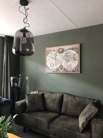
About ‘New Geographic and Hydrographic Map of the Whole World, 1630’
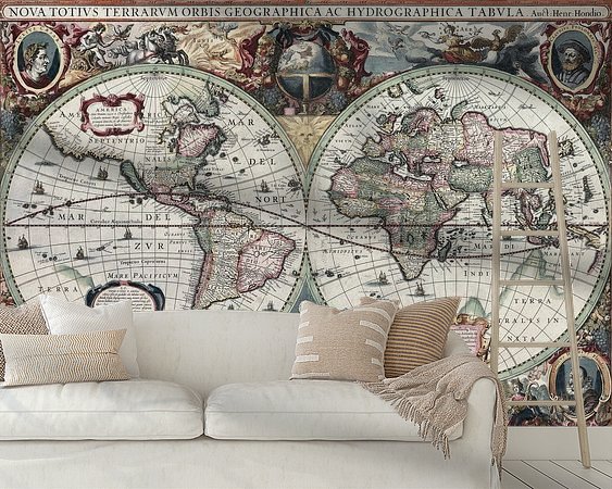
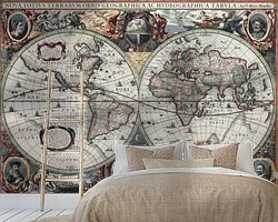
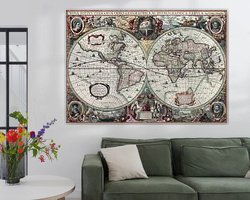
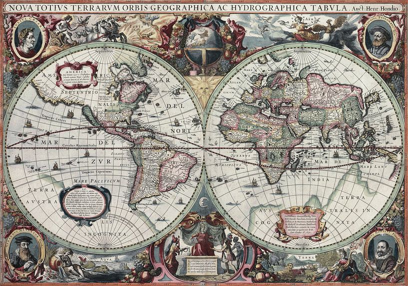
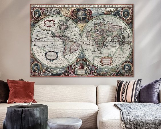
This is an image of Nova totius Terrarum Orbis geographica ac hydrographica tabula, a map of the world created by Hendrik Hondius in 1630, and published the following year in the atlas Atlantis Maioris Appendix.
Among its claims to notability is the fact that it was the first dated map published in an atlas, and therefore the first widely available map, to show any part of Australia, the only previous map to do so being Hessel Gerritsz' 1627 Caert van't Landt van d'Eendracht ("Chart of the Land of Eendracht"), which was not widely distributed. The Australian coastline shown is part of the west coast of Cape York Peninsula, discovered by Jan Carstensz in 1623. Curiously, the map does not show the west coast features shown in Gerritsz' Caert. The original map was executed in 1630, and published in 1631.
Colors
Discover our Canvas
Classic and timeless material
Art on canvas looks great on any wall. It truly comes into its own with paintings featuring sharp brushstrokes.
- Fine-art quality
- Frame made from sustainable wood
- Durability of at least 10 years
- Available with shadow gap frame
Discover the Old Masters collection



Customer reviews
4.8/5

Related collections