



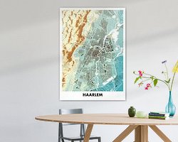


About ‘Height map Haarlem’ by STADSKAART
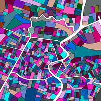
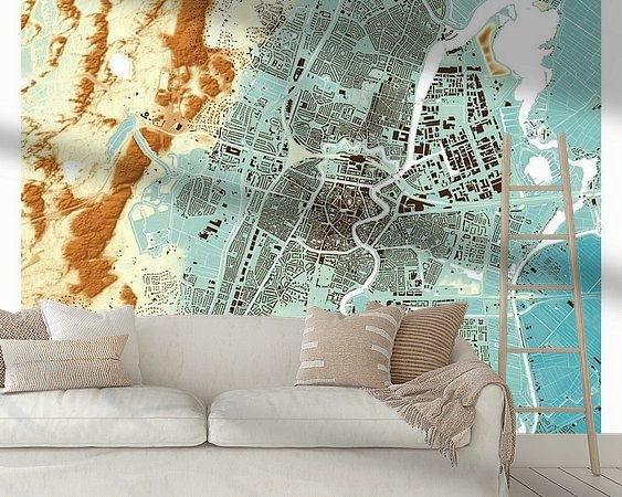
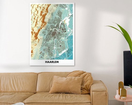
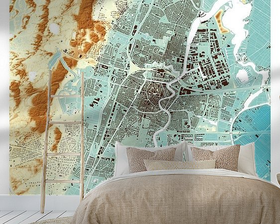
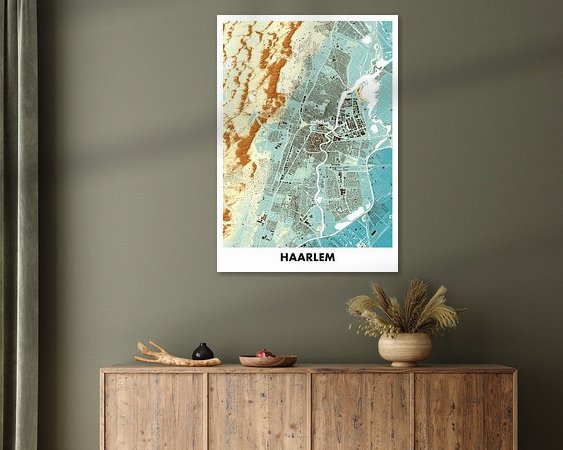
Height map of Haarlem in colour. These maps are based on the Actueel Hoogtebestand Nederland (AHN). The height maps clearly show how a town or village lies in the surrounding landscape. Old structures are recognisable. Higher and lower areas and the current parcellation structure are beautifully depicted.
Colors
Discover our ArtFrame
The modern canvas alternative
Your chosen art on a textile print, stretched in an aluminum or wooden frame. Quick and easy to change for a fresh look and exactly as you want it.
- High-quality print
- Easily replaceable
- Acoustic function
- Large formats possible

Discover the artworks of STADSKAART


Customer reviews
4.8/5

Related collections