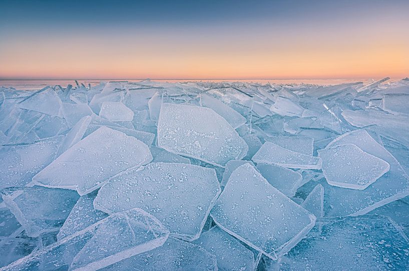

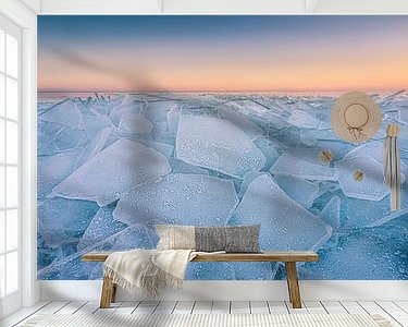
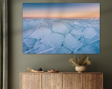
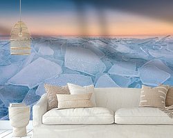


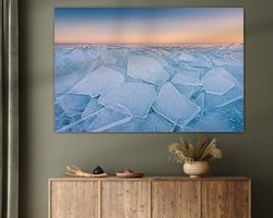


Buy this landscape artwork Crushing ice on the Markermeer during sunset by Original Mostert Photography on canvas, ArtFrame, poster and wallpaper, printed on demand in high quality.
About "Crushing ice on the Markermeer during sunset"
by Original Mostert Photography
About the artwork
The Markermeer is a lake in the Netherlands, located between Noord-Holland and Flevoland. On the northeast side it borders the IJsselmeer, of which it actually forms the southwestern compartment, separated from it by a dike. The lake is triangular in shape, 700 km² in size, and is 2 to 4 metres deep in most places. The deepest parts of the Markermeer are the Pampus wells and the Amsterdam - Lelystad shipping channel. The Pampus well off the coast of Muiden is a former sand extraction well (depth 30 m). The well has become shallower due to subsidence of the edges and sedimentation of silt. The current depth is 10 to 15 metres. Part of the lake is part of National Park Nieuw Land.
The Markermeer merges with the IJmeer on the south side. In the northwestern part lies a round, bay-like inlet of the North Holland coast, the Hoornse Hop. This part can roughly be indicated by the triangle Schardam-Hoorn-Schellinkhout.

About Original Mostert Photography
Passion for photography.. Read more…
 Ice
Ice Landscapes
 Markermeer
 Nature and weather
 Photo wallpaper
 Photography
 Serene Peace
 Sun
Sun Sunset
 The Netherlands
 Winter
 Netherlands
 Ordered in June 2019
 Germany
 Ordered in May 2021
Netherlands
Ordered in December 2021
Germany
Ordered in August 2023
Germany
Ordered in November 2024
Netherlands
Ordered in May 2021
Netherlands
Ordered in December 2021
Germany
Ordered in August 2023
Germany
Ordered in November 2024
Netherlands Ordered in January 2025
Netherlands
Ordered in August 2022
Germany
Ordered in June 2020
Germany
Ordered in October 2019
Netherlands
Ordered in February 2024
Netherlands
Ordered in October 2023
Netherlands
Ordered in January 2019
Ordered in January 2025
Netherlands
Ordered in August 2022
Germany
Ordered in June 2020
Germany
Ordered in October 2019
Netherlands
Ordered in February 2024
Netherlands
Ordered in October 2023
Netherlands
Ordered in January 2019
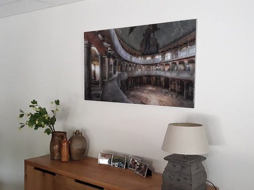
About the material
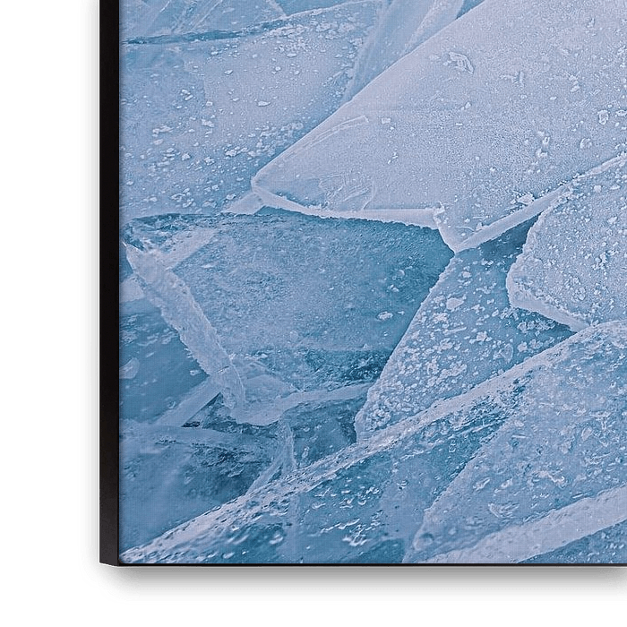
ArtFrame™
Interchangeable Art Prints
- High-quality print
- Easily interchangeable
- Acoustic function
- Large sizes available


Discover the artworks of Original Mostert Photography
 Portret of a local Cuban, smoking a Havana cigarOriginal Mostert Photography
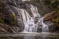 Waterfall hidden in the tropical jungleOriginal Mostert Photography
 Beautiful Zebras on African plainsOriginal Mostert Photography
 Elephant with baby Elephant drinking water on African plainsOriginal Mostert Photography
 Elephants on African plainsOriginal Mostert Photography
 Elephant with baby Elephant drinking water on African plainsOriginal Mostert Photography
 LandscapeOriginal Mostert Photography
 The Hague City SkylineOriginal Mostert Photography
 Skyline The Hague CityOriginal Mostert Photography
 Skyline The Hague CityOriginal Mostert Photography
 LandscapeOriginal Mostert Photography
 The Chureito Pagoda and Mount Fuji, JapanOriginal Mostert Photography
 Autumn colorsOriginal Mostert Photography
 Autumn colours in the forestOriginal Mostert Photography
 Dutch landscapeOriginal Mostert Photography
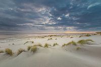 Coastal Motion. Layers of the Dutch ShorelineOriginal Mostert Photography
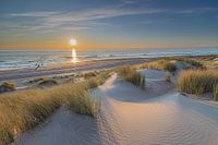 Dutch LandscapeOriginal Mostert Photography
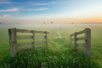 Dutch landscapeOriginal Mostert Photography
 Dutch landscapeOriginal Mostert Photography
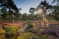 Flowering heathland during a misty sunriseOriginal Mostert Photography


