


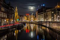
Buy the photo Amstel mirror blue hour by Jeroen de Jongh Photography on canvas, ArtFrame, poster and wallpaper, printed on demand in high quality.
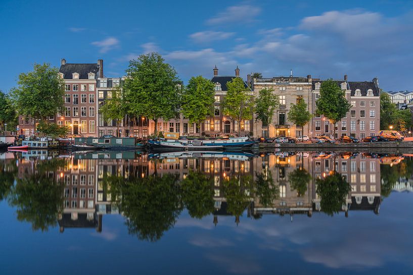
About "Amstel mirror blue hour"
by Jeroen de Jongh Photography
About the artwork
The Amstel (to Aeme-stelle, an Old Dutch word for "watery area") is a canalized river in the south of North Holland, partly on the border of North Holland with South Holland and Utrecht. The area along the river is referred to as Amstelland. Amsterdam owes its name to the Amstel river.
The Amstel river originally started at the confluence of the Drecht and the Kromme Mijdrecht, just southwest of Uithoorn. By canalization and construction of the Amstel-Drecht canal in 1825, the section between Uithoorn and Ouderkerk aan de Amstel became part of this canal.
This canal starts at the Tolhuissluis at the confluence of the Drecht and the Aarkanaal, just northwest of Nieuwveen, and runs via Uithoorn to Ouderkerk where the Bullewijk flows into. From there to Amsterdam the water is officially still called Amstel. The part of the Aarkanaal to the Bullewijk is 18.5 km long, from there to the mouth the water measures 12.5 km.
Apart from the Kromme Mijdrecht and the Bullewijk, the river Wavre flows into the Amstel, at the westernmost point of the polder the Ronde Hoep.
About Jeroen de Jongh Photography
I'm Jeroen, and I'll spare you the long introduction. ;) If you're looking for a landscape photo for your wall, you've come to the right place... Read more…
 Amstel
 Amsterdam
 Blue hour
 City centre of Amsterdam
 Europe
 North Holland
 Photo wallpaper
 Photography
 Reflections
 Serene Peace
 The Netherlands
 Netherlands
 Ordered in August 2017
 Germany
 Ordered in April 2021
Germany
Ordered in February 2025
Netherlands
Ordered in May 2021
Netherlands
Ordered in August 2018
Ordered in April 2021
Germany
Ordered in February 2025
Netherlands
Ordered in May 2021
Netherlands
Ordered in August 2018
 Netherlands
Ordered in January 2022
Germany
Ordered in December 2019
Germany
Ordered in January 2022
Germany
Ordered in November 2019
Germany
Ordered in February 2021
Netherlands
Ordered in January 2022
Germany
Ordered in March 2020
Netherlands
Ordered in January 2022
Germany
Ordered in December 2019
Germany
Ordered in January 2022
Germany
Ordered in November 2019
Germany
Ordered in February 2021
Netherlands
Ordered in January 2022
Germany
Ordered in March 2020
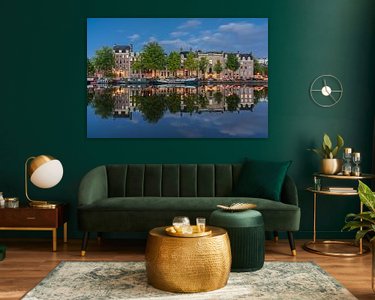
About the material
ArtFrame™
Interchangeable Art Prints
- High-quality print
- Easily interchangeable
- Acoustic function
- Large sizes available


Discover the artworks of Jeroen de Jongh Photography
 Full moon at the flower marketJeroen de Jongh Photography
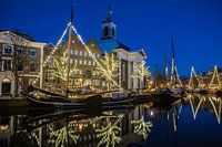 Lange HavenJeroen de Jongh Photography
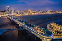 Scheveningen PierJeroen de Jongh Photography
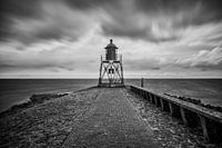 Lighthouse StavorenJeroen de Jongh Photography
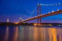 April 25th BridgeJeroen de Jongh Photography
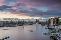 OosterdokJeroen de Jongh Photography
 Climb to the lightJeroen de Jongh Photography
 MonnickendamJeroen de Jongh Photography
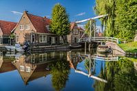 Zonnepad MonnickendamJeroen de Jongh Photography
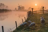 Mill de Vlinder on a misty morning in the BetuweJeroen de Jongh Photography
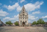 Town Hall of Gouda at the MarketJeroen de Jongh Photography
 Swans at the skyline of ZutphenJeroen de Jongh Photography
 Quiet autumn morning in the park of Groeneveld CastleJeroen de Jongh Photography
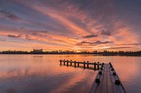 Magical sunrise at the Amstelveense PoelJeroen de Jongh Photography
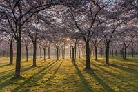 Sunrise in the cherry blossom park of the Amsterdamse BosJeroen de Jongh Photography
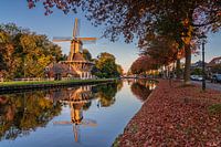 The last autumn sunlight on Mill 't HaantjeJeroen de Jongh Photography
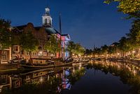 Peace and quiet at Schiedam's Lange HavenJeroen de Jongh Photography
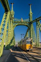 Tram 47 passes over the Freedom Bridge in BudapestJeroen de Jongh Photography
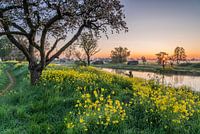 Rapeseed at sunrise in Werk aan de GroenewegJeroen de Jongh Photography
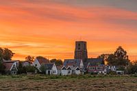 Sunset at the Tower of Ransdorp in AmsterdamJeroen de Jongh Photography


